

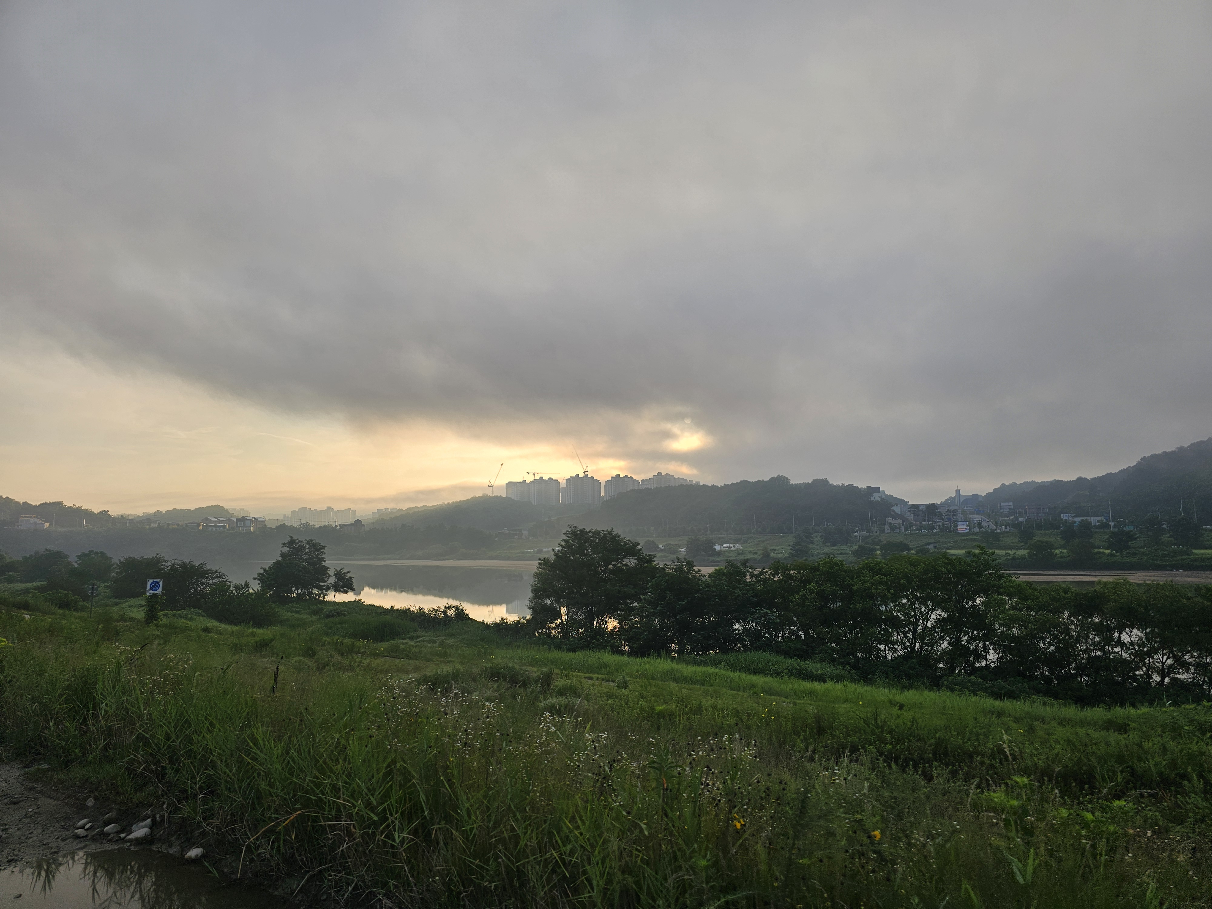
풍천면 23-1, 안동시 ~ 풍천면 1053-6, 안동시
A cycling route starting in Andong, Gyeongsangbuk-do, South Korea.
Overview
About this route
- 1 h 43 min
- Duration
- 28.7 km
- Distance
- 115 m
- Ascent
- 94 m
- Descent
- 16.7 km/h
- Avg. speed
- 135 m
- Max. altitude
Route quality
Waytypes & surfaces along the route
Waytypes
Road
14.4 km
(50 %)
Cycleway
4 km
(14 %)
Surfaces
Paved
7.5 km
(26 %)
Concrete
4.3 km
(15 %)
Asphalt
3.2 km
(11 %)
Undefined
21.2 km
(74 %)
Continue with Bikemap
Use, edit, or download this cycling route
You would like to ride 풍천면 23-1, 안동시 ~ 풍천면 1053-6, 안동시 or customize it for your own trip? Here is what you can do with this Bikemap route:
Free features
- Save this route as favorite or in collections
- Copy & plan your own version of this route
- Sync your route with Garmin or Wahoo
Premium features
Free trial for 3 days, or one-time payment. More about Bikemap Premium.
- Navigate this route on iOS & Android
- Export a GPX / KML file of this route
- Create your custom printout (try it for free)
- Download this route for offline navigation
Discover more Premium features.
Get Bikemap PremiumFrom our community
Other popular routes starting in Andong
 韓国縦走サイクリング4日目(安東→水安堡)
- Distance
- 144 km
- Ascent
- 762 m
- Descent
- 661 m
- Location
- Andong, Gyeongsangbuk-do, South Korea
 수하동 661-18 ~ 수하동 661-18
- Distance
- 30 km
- Ascent
- 142 m
- Descent
- 160 m
- Location
- Andong, Gyeongsangbuk-do, South Korea
![용상동 1193-6, 안동시Ph0]으로 라우팅](https://media.bikemap.net/routes/13395749/staticmaps/in_d916f060-9bdb-4dc4-97f3-d9deae68b46e_400x400_bikemap-2021-3D-static.png) 용상동 1193-6, 안동시Ph0]으로 라우팅
용상동 1193-6, 안동시Ph0]으로 라우팅- Distance
- 65.2 km
- Ascent
- 119 m
- Descent
- 143 m
- Location
- Andong, Gyeongsangbuk-do, South Korea
 Anongtan
- Distance
- 257.1 km
- Ascent
- 892 m
- Descent
- 918 m
- Location
- Andong, Gyeongsangbuk-do, South Korea
 풍천면 23-1, 안동시 ~ 풍천면 1053-6, 안동시
- Distance
- 28.7 km
- Ascent
- 115 m
- Descent
- 94 m
- Location
- Andong, Gyeongsangbuk-do, South Korea
 저수령 코스
- Distance
- 99.3 km
- Ascent
- 2,331 m
- Descent
- 2,331 m
- Location
- Andong, Gyeongsangbuk-do, South Korea
 안동-안동호-영주 58km
- Distance
- 58.2 km
- Ascent
- 738 m
- Descent
- 693 m
- Location
- Andong, Gyeongsangbuk-do, South Korea
 임하면 258, 안동시 to 임하면 660, 안동시
- Distance
- 2.4 km
- Ascent
- 0 m
- Descent
- 0 m
- Location
- Andong, Gyeongsangbuk-do, South Korea
Open it in the app