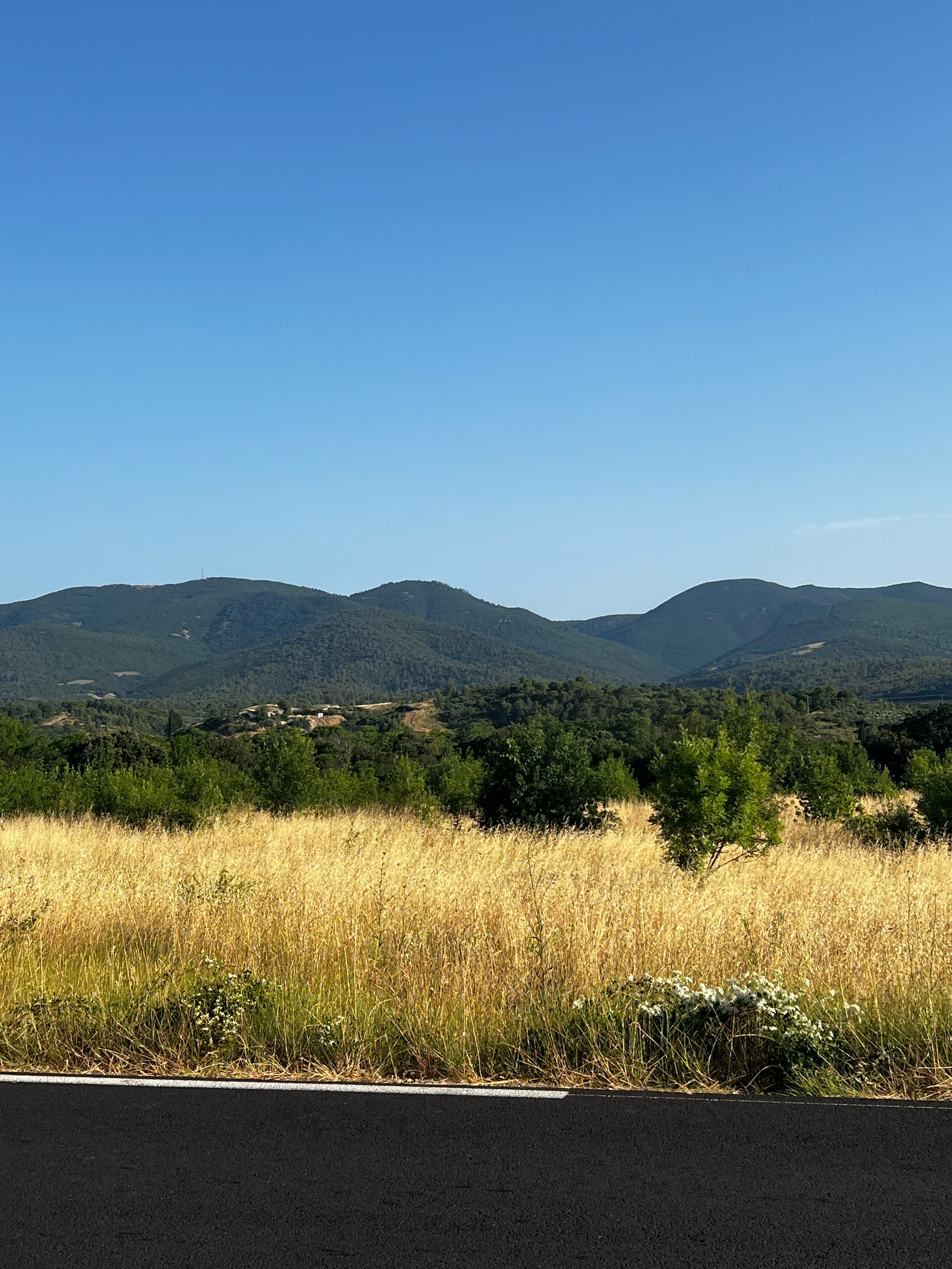
Portées CAZOULS Lès BEZIERS - 2011
A cycling route starting in Cazouls-lès-Béziers, Occitanie, France.
Overview
About this route
MONTPELLIER UNIVERSITE CLUB CYCLO
Pour plus d'infos n'hésitez-pas à vous connecter ici http://cyclotourisme.mucomnisports.fr
-
Dimanche 25 septembre 2011
-
Départ : devant le CREPS de Montpellier à 7h45 pour 95 km
Parcours :
CAZOULS Lès BEZIERS, D14, Cessenon, D136, D19, Roquebrun, D14, Vieussan, à gauche, D177, Boissezon, Mezeilles, Escagnes, Berlou, D177, La Treille, La Fraise, CV Pousselières, N612xD179, Rieussec, Pardailhan, D176, Le Pez, Col de Trémoulis, à droite, Copujol, La Garrigue, D176e9,Pardailho, Coulouma, D176e7, La Louvière, Donnadieu, D176e7, d177, st chinian, D20xD134, pierrerue, Cazedarnes, Abbaye de Fontcaude, D14 CAZOULS Lès BEZIERS
- -:--
- Duration
- 99.9 km
- Distance
- 1,228 m
- Ascent
- 1,228 m
- Descent
- ---
- Avg. speed
- ---
- Max. altitude
Route quality
Waytypes & surfaces along the route
Waytypes
Road
57.8 km
(58 %)
Busy road
19.5 km
(20 %)
Surfaces
Paved
18.5 km
(18 %)
Unpaved
9.3 km
(9 %)
Asphalt
18.5 km
(18 %)
Unpaved (undefined)
7.2 km
(7 %)
Continue with Bikemap
Use, edit, or download this cycling route
You would like to ride Portées CAZOULS Lès BEZIERS - 2011 or customize it for your own trip? Here is what you can do with this Bikemap route:
Free features
- Save this route as favorite or in collections
- Copy & plan your own version of this route
- Split it into stages to create a multi-day tour
- Sync your route with Garmin or Wahoo
Premium features
Free trial for 3 days, or one-time payment. More about Bikemap Premium.
- Navigate this route on iOS & Android
- Export a GPX / KML file of this route
- Create your custom printout (try it for free)
- Download this route for offline navigation
Discover more Premium features.
Get Bikemap PremiumFrom our community
Other popular routes starting in Cazouls-lès-Béziers
 echauf1
- Distance
- 19 km
- Ascent
- 189 m
- Descent
- 189 m
- Location
- Cazouls-lès-Béziers, Occitanie, France
 20 Avenue Jean Jaurès, Cazouls-lès-Béziers à 688–952 Rue de la Carrierasse, Montady
- Distance
- 7.8 km
- Ascent
- 25 m
- Descent
- 70 m
- Location
- Cazouls-lès-Béziers, Occitanie, France
 20 Avenue Jean Jaurès, Cazouls-lès-Béziers à 18 Avenue Fernand Schmidt, Murviel-lès-Béziers
- Distance
- 19 km
- Ascent
- 209 m
- Descent
- 208 m
- Location
- Cazouls-lès-Béziers, Occitanie, France
 2 Rue Thiers, Cazouls-lès-Béziers à Cessenon-sur-Orb
- Distance
- 24.1 km
- Ascent
- 221 m
- Descent
- 250 m
- Location
- Cazouls-lès-Béziers, Occitanie, France
 Portées CAZOULS Lès BEZIERS - 2011
- Distance
- 99.9 km
- Ascent
- 1,228 m
- Descent
- 1,228 m
- Location
- Cazouls-lès-Béziers, Occitanie, France
 Cazouls les Beziers Colombiers canal midi
- Distance
- 25.7 km
- Ascent
- 344 m
- Descent
- 337 m
- Location
- Cazouls-lès-Béziers, Occitanie, France
 cazouls-les-béziers
- Distance
- 80.4 km
- Ascent
- 608 m
- Descent
- 610 m
- Location
- Cazouls-lès-Béziers, Occitanie, France
 Rue Desaix, Cazouls-lès-Béziers nach Grande Rue, Saint-Chinian
- Distance
- 16.9 km
- Ascent
- 312 m
- Descent
- 268 m
- Location
- Cazouls-lès-Béziers, Occitanie, France
Open it in the app

