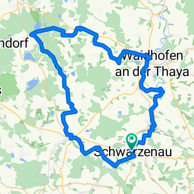
Großhaselbach nach Großhaselbach
- 32.3 km
- 297 m
- 352 m
- Schwarzenau, Lower Austria, Austria
A cycling route starting in Schwarzenau, Lower Austria, Austria.
Overview
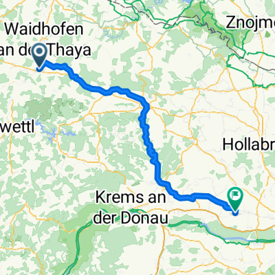
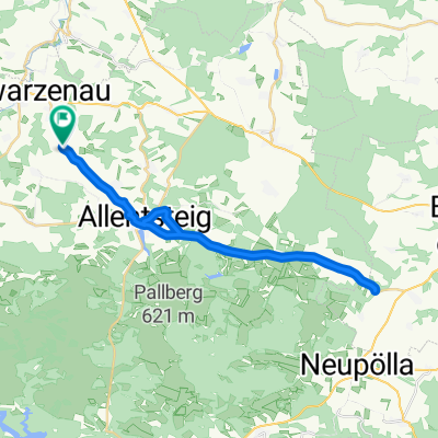
Thaya Kamp bike tour stage Schwarzenau - Rastenfeld
created this 2 years ago
Route quality
Road
18.7 km
(39 %)
Quiet road
12.5 km
(26 %)
Paved
17.3 km
(36 %)
Unpaved
2.9 km
(6 %)
Asphalt
13.9 km
(29 %)
Paved (undefined)
3.4 km
(7 %)
Continue with Bikemap
You would like to ride Schwarzenau - Rastenfeld Thaya-Kamp or customize it for your own trip? Here is what you can do with this Bikemap route:
Free trial for 3 days, or one-time payment. More about Bikemap Premium.
Discover more Premium features.
Get Bikemap PremiumFrom our community
Open it in the app