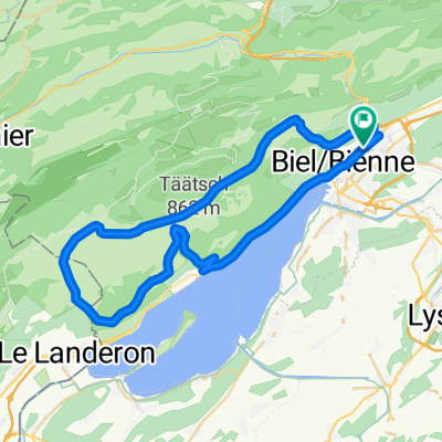
Bözingerbergschlaufe+
- 41.9 km
- 1,162 m
- 1,203 m
- Biel/Bienne, Canton of Bern, Switzerland
A cycling route starting in Biel/Bienne, Canton of Bern, Switzerland.
Overview
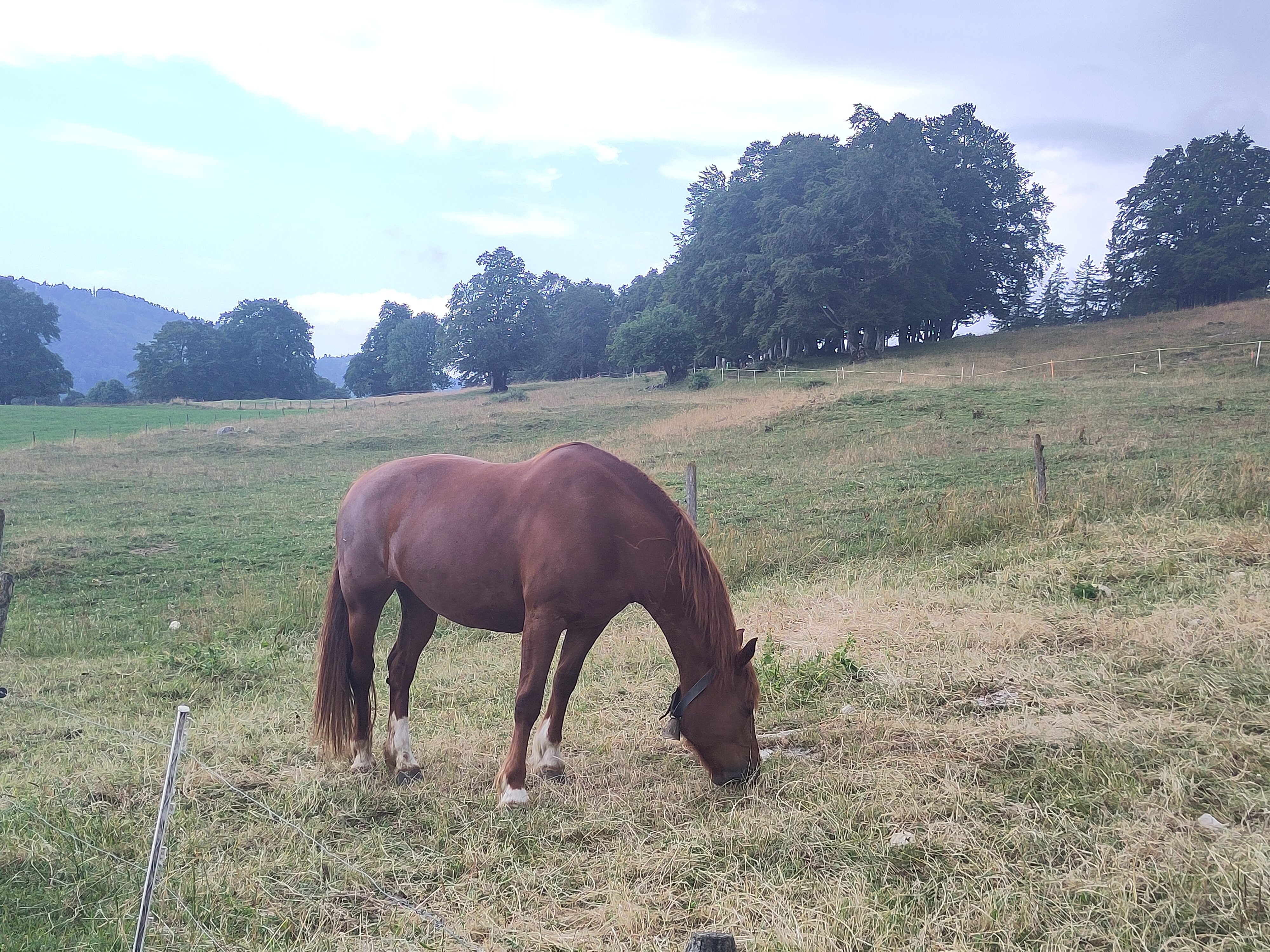
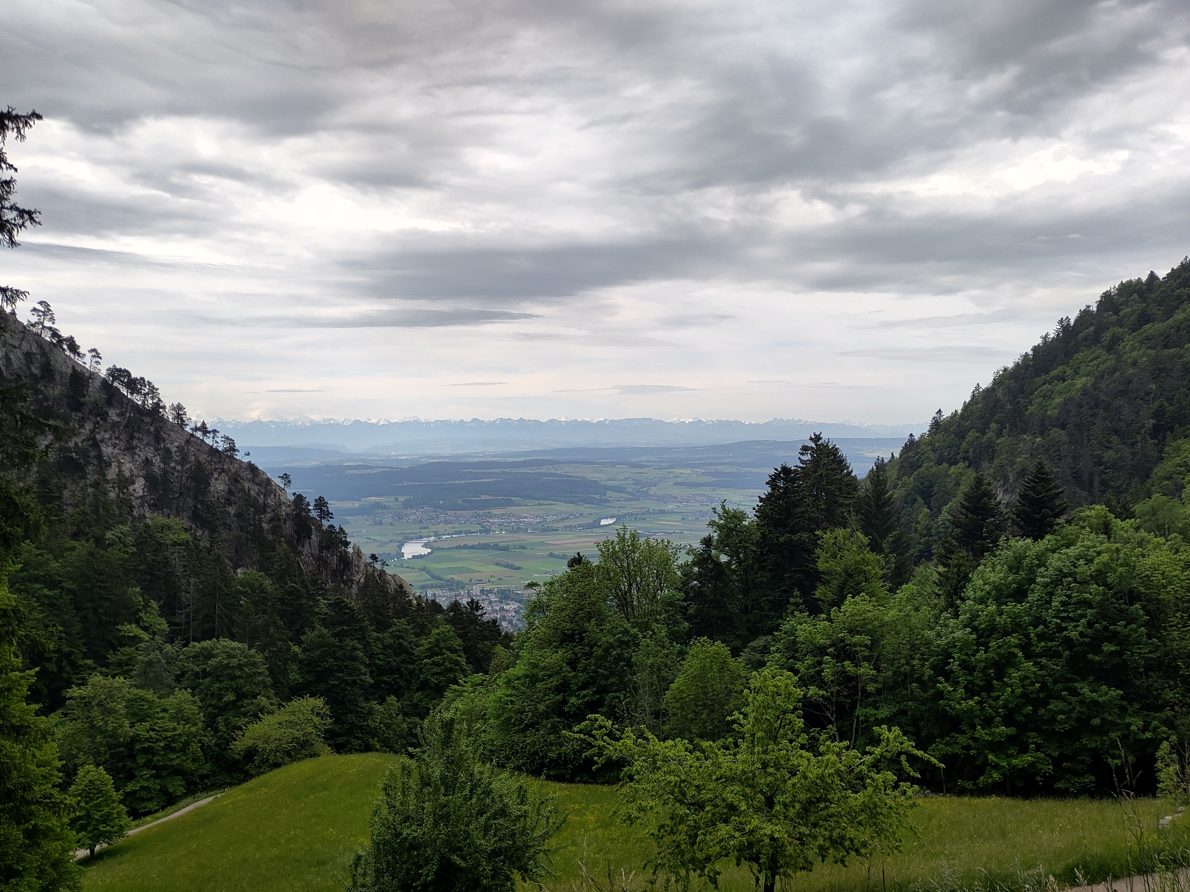
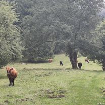
Nice route, all paved, direction Burgdorf. First 40 km it goes up, but there is nothing that can be defined as a real climb. Main climb at km 40 quite easy about 7-9% (4 km long).
created this 2 years ago
Route quality
Road
40.2 km
(40 %)
Quiet road
18.1 km
(18 %)
Paved
78.5 km
(78 %)
Unpaved
1 km
(1 %)
Asphalt
77.5 km
(77 %)
Paved (undefined)
1 km
(1 %)
Route highlights
Here take the cycle-way
Continue with Bikemap
You would like to ride P-Biel/Bolligen/Burgdorf (101km) or customize it for your own trip? Here is what you can do with this Bikemap route:
Free trial for 3 days, or one-time payment. More about Bikemap Premium.
Discover more Premium features.
Get Bikemap PremiumFrom our community
Open it in the app