

st. Andre les Alpes- Montpellier K&L 2011 1/2 CLONED FROM ROUTE 1295811
A cycling route starting in Annot, Provence-Alpes-Côte d'Azur Region, France.
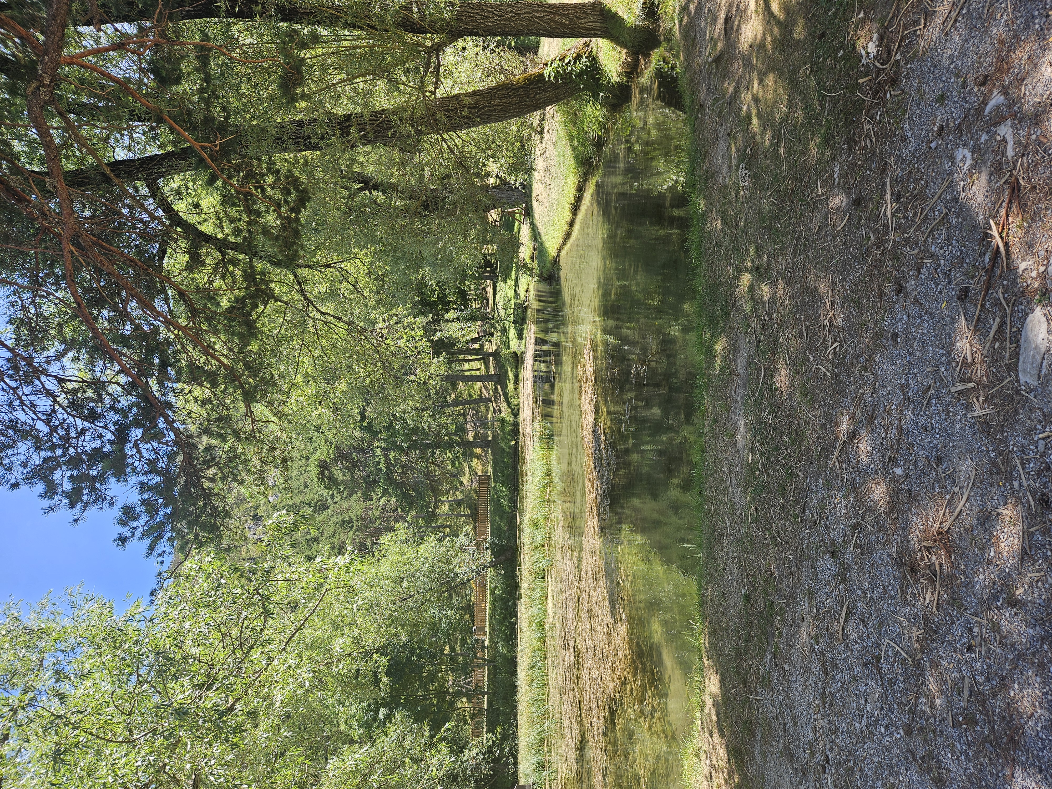
Overview
About this route
day 1. st. André les Aples- Castellane, Castellane is smal town with lovely atmosphere. Rafting afternoon- great highly recomandet!
day 2. Castellane- Moustiers sainte Marie, going uo and down, marvellous view on canyon, afternoon swimming in the Luc de sainte Croix - a bit muddy
day 3. Moustiers-Cadenet, Moustiers is picturesque town, friendly and shops are open even on sunday. Riez another example of provence town. Alemagne en Provence- village with nice chateau, sundays the is car boot sale, way from Gréoux les Bains to Pont de Mirabeau is not realy nice, actualy it was quite annoying is bussy but was the shortist way, THERE IS A WIND FROM WEST BLOWING IN SEPTEMBER=IT IS STUPID TO GO EAST TO WEST. Pont de Mirabeau is nice. Mirabeau it self is very quiet beautiful place with old church...provence indeed. Peruis is bigger town, lazy and sleapy, ideal for dinner or galss of pastis (if there were any restaurant open -it was sunday, luckyly there are some Arabic restaurants in Pertuis). Cadenet - like smaller Riez, monday there was market in one word: lovely.
Day 4. Cadenet - Saint Martin de Carau, Barben- romantic chateaux and zoological garden. Refreshing change after biking, villages and towns. The way from Barben to Salon de Provence was disaster, bussy and ugly. Salon de Provence- I don't know if it is so unattractive or it was just my impression, but i did not like it at all. Luckily there is a tiny way to Saint Martin de Crau next to the highway, strait flat and fast.
day 5. Saint Martin de Carau - Saintes Maries de la Mer, Arles is noisy and touristic place, but if You are going to Provence it is place You must see. Way across the Camarque should be nice, interesting and exciting, but imho it is not. We have seen all, black bulls, white horses and flamencos but it is little compensation for many kilometers of flat, hot, boring landcape without a single piece of shadow. Saintes Maries de la Mer is classic seaside town. Everithing is for tourist. One thing i found interesting are statues on every roundabout, I tbelive scluptor must be native from Maries, otherwise I do not understand why they would place these funny scluptures allaround. NOTICE THERE ARE MILLIONS OF MOSQUITOS.
day 6. Stes Maries de la Mer - Le Grau du Roi, there is a small ferry on Le Petit Rhone, Aigues Mortes- medieval town, nice but less then those towns in the beginning of the journey, Grau du Roi- lovely port, touristic, bustling an full of live, but may be that was because it was a festival.
day 7. Grau du Roi- Palavas les Flots, Le Grande Motte- interesting place, resort build on a greenfield site in 60th and 70th, homogenous architecture, surely place to see. Palavas les Flots - strange phare compere to rest of town, nice beaches.
day 8. Palavas les Flots- Montpellier, If you want to feel young go to Montpellier!
- -:--
- Duration
- 373.9 km
- Distance
- 683 m
- Ascent
- 1,559 m
- Descent
- ---
- Avg. speed
- ---
- Max. altitude
Route quality
Waytypes & surfaces along the route
Waytypes
Busy road
217.6 km
(58 %)
Road
49 km
(13 %)
Surfaces
Paved
304.5 km
(81 %)
Unpaved
3.5 km
(<1 %)
Asphalt
294.5 km
(79 %)
Paved (undefined)
5.3 km
(1 %)
Continue with Bikemap
Use, edit, or download this cycling route
You would like to ride st. Andre les Alpes- Montpellier K&L 2011 1/2 CLONED FROM ROUTE 1295811 or customize it for your own trip? Here is what you can do with this Bikemap route:
Free features
- Save this route as favorite or in collections
- Copy & plan your own version of this route
- Split it into stages to create a multi-day tour
- Sync your route with Garmin or Wahoo
Premium features
Free trial for 3 days, or one-time payment. More about Bikemap Premium.
- Navigate this route on iOS & Android
- Export a GPX / KML file of this route
- Create your custom printout (try it for free)
- Download this route for offline navigation
Discover more Premium features.
Get Bikemap PremiumFrom our community
Other popular routes starting in Annot
 Letzter Urlaubstag
- Distance
- 73.5 km
- Ascent
- 1,897 m
- Descent
- 1,409 m
- Location
- Annot, Provence-Alpes-Côte d'Azur Region, France
 Fra - day 8
- Distance
- 127.6 km
- Ascent
- 1,522 m
- Descent
- 2,138 m
- Location
- Annot, Provence-Alpes-Côte d'Azur Region, France
 Francia- és Provence Alpok, Cote d'Azur 7. nap
- Distance
- 100 km
- Ascent
- 1,611 m
- Descent
- 1,814 m
- Location
- Annot, Provence-Alpes-Côte d'Azur Region, France
 Nizza10 Guillestre
- Distance
- 156.4 km
- Ascent
- 3,248 m
- Descent
- 3,127 m
- Location
- Annot, Provence-Alpes-Côte d'Azur Region, France
 Col des Champs Vallée du Var
- Distance
- 105.2 km
- Ascent
- 1,968 m
- Descent
- 1,949 m
- Location
- Annot, Provence-Alpes-Côte d'Azur Region, France
 De Chemin des Viviers à Chemin des Viviers
- Distance
- 9 km
- Ascent
- 295 m
- Descent
- 248 m
- Location
- Annot, Provence-Alpes-Côte d'Azur Region, France
 boucles_du_verdon 012
- Distance
- 153.1 km
- Ascent
- 1,889 m
- Descent
- 1,878 m
- Location
- Annot, Provence-Alpes-Côte d'Azur Region, France
 Gorge de Verdon to Arles
- Distance
- 261.6 km
- Ascent
- 5,326 m
- Descent
- 6,205 m
- Location
- Annot, Provence-Alpes-Côte d'Azur Region, France
Open it in the app