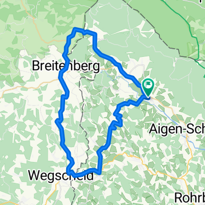
Route in Ulrichsberg
- 67.4 km
- 1,303 m
- 1,304 m
- Ulrichsberg, Upper Austria, Austria
A cycling route starting in Ulrichsberg, Upper Austria, Austria.
Overview
created this 2 years ago
Route quality
Track
74.4 km
(71 %)
Quiet road
12.6 km
(12 %)
Paved
72.3 km
(69 %)
Unpaved
27.2 km
(26 %)
Asphalt
69.2 km
(66 %)
Gravel
16.8 km
(16 %)
Route highlights
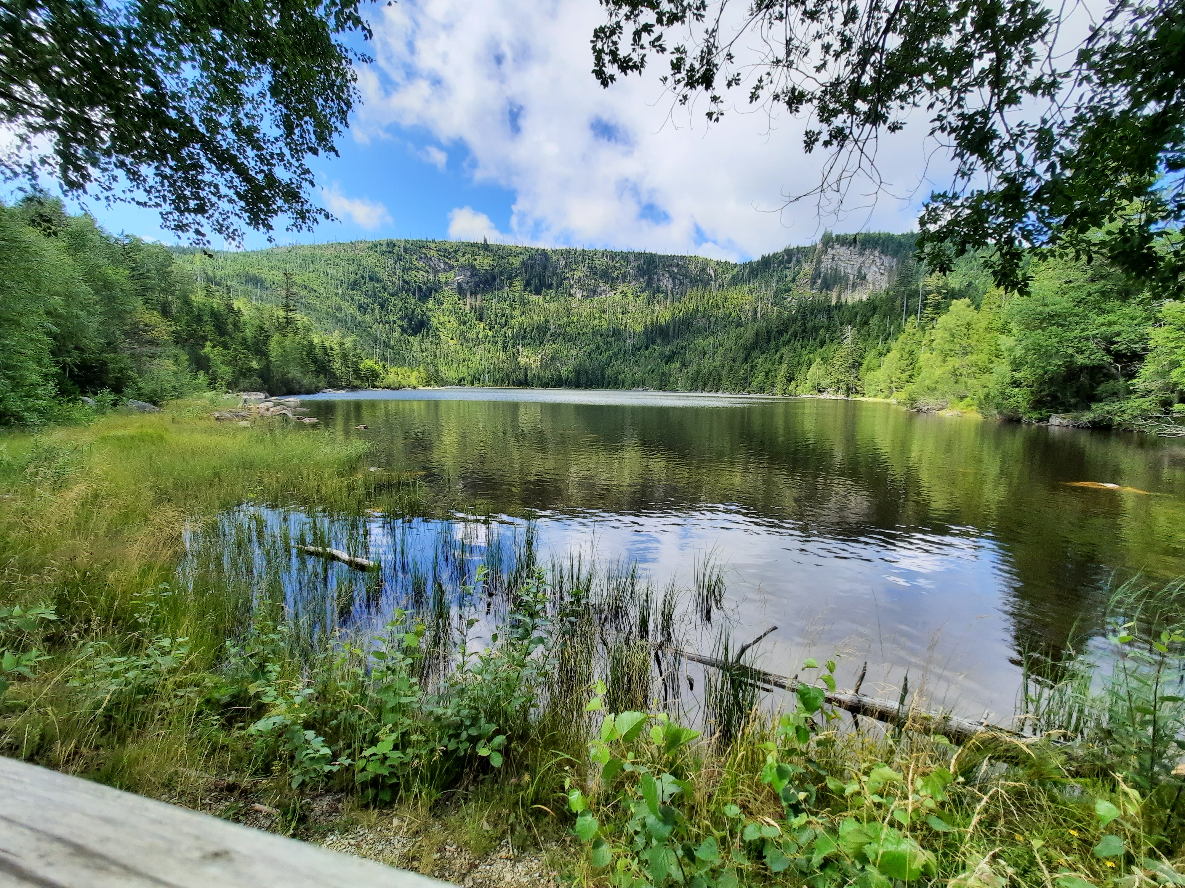
Zugang Stuibenfälle
Continue with Bikemap
You would like to ride Breitenberg - Cerneho jezera 105 km or customize it for your own trip? Here is what you can do with this Bikemap route:
Free trial for 3 days, or one-time payment. More about Bikemap Premium.
Discover more Premium features.
Get Bikemap PremiumFrom our community
Open it in the app