

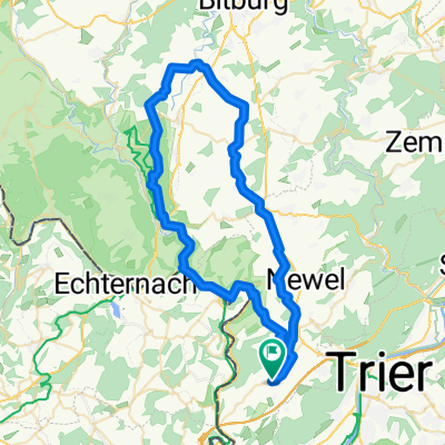
2023-06-23-9 Burer Millen-Hauptstrasse 84, Gerolstein
A cycling route starting in Trierweiler, Rhineland-Palatinate, Germany.
Overview
About this route
- -:--
- Duration
- 68.4 km
- Distance
- 985 m
- Ascent
- 775 m
- Descent
- ---
- Avg. speed
- 389 m
- Max. altitude

Route quality
Waytypes & surfaces along the route
Waytypes
Path
24.6 km
(36 %)
Quiet road
11.6 km
(17 %)
Surfaces
Paved
63 km
(92 %)
Asphalt
58.2 km
(85 %)
Paved (undefined)
4.8 km
(7 %)
Undefined
5.5 km
(8 %)
Continue with Bikemap
Use, edit, or download this cycling route
You would like to ride 2023-06-23-9 Burer Millen-Hauptstrasse 84, Gerolstein or customize it for your own trip? Here is what you can do with this Bikemap route:
Free features
- Save this route as favorite or in collections
- Copy & plan your own version of this route
- Sync your route with Garmin or Wahoo
Premium features
Free trial for 3 days, or one-time payment. More about Bikemap Premium.
- Navigate this route on iOS & Android
- Export a GPX / KML file of this route
- Create your custom printout (try it for free)
- Download this route for offline navigation
Discover more Premium features.
Get Bikemap PremiumFrom our community
Other popular routes starting in Trierweiler
 Trierweiler - Biewer - Wintersdorf
- Distance
- 53.8 km
- Ascent
- 500 m
- Descent
- 500 m
- Location
- Trierweiler, Rhineland-Palatinate, Germany
 Bergtraining
- Distance
- 4.6 km
- Ascent
- 131 m
- Descent
- 131 m
- Location
- Trierweiler, Rhineland-Palatinate, Germany
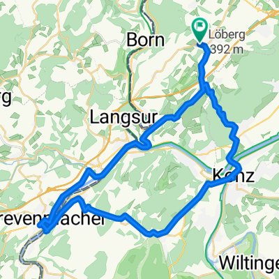 Trierweiler - Konz - Tawern - Grevenmacher - Trierweiler
- Distance
- 39.1 km
- Ascent
- 665 m
- Descent
- 662 m
- Location
- Trierweiler, Rhineland-Palatinate, Germany
 Born Untereisenbach
- Distance
- 58.3 km
- Ascent
- 317 m
- Descent
- 214 m
- Location
- Trierweiler, Rhineland-Palatinate, Germany
 Trierweiler Rundweg
- Distance
- 22 km
- Ascent
- 488 m
- Descent
- 488 m
- Location
- Trierweiler, Rhineland-Palatinate, Germany
 Around Kersch - MTB
- Distance
- 33.5 km
- Ascent
- 463 m
- Descent
- 462 m
- Location
- Trierweiler, Rhineland-Palatinate, Germany
 60km Prümzurlay - Burg
- Distance
- 59.5 km
- Ascent
- 1,131 m
- Descent
- 1,129 m
- Location
- Trierweiler, Rhineland-Palatinate, Germany
 2023-06-23-9 Burer Millen-Hauptstrasse 84, Gerolstein
- Distance
- 68.4 km
- Ascent
- 985 m
- Descent
- 775 m
- Location
- Trierweiler, Rhineland-Palatinate, Germany
Open it in the app