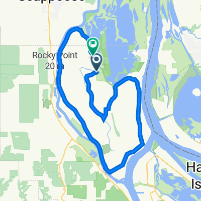
CZ Chapman Dutch Canyon Loop
- 34.5 km
- 575 m
- 575 m
- Scappoose, Oregon, United States
A cycling route starting in Scappoose, Oregon, United States.
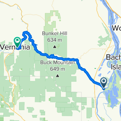
Overview
created this 2 years ago
Route quality
Road
25.3 km
(70 %)
Quiet road
5.1 km
(14 %)
Paved
33.3 km
(92 %)
Unpaved
2.9 km
(8 %)
Asphalt
33.3 km
(92 %)
Unpaved (undefined)
2.9 km
(8 %)
Continue with Bikemap
You would like to ride full loop of sauvies or customize it for your own trip? Here is what you can do with this Bikemap route:
Free trial for 3 days, or one-time payment. More about Bikemap Premium.
Discover more Premium features.
Get Bikemap PremiumFrom our community
Open it in the app