Circular Orcasitas-Cañada Real-Orcasitas
A cycling route starting in Villaverde, Madrid, Spain.
Overview
About this route
Ruta que se inicia en el carril bici, parque lienal manzanares, camino paralelos al Ave y Manzanares hasta Cañada Real, vuelta hasta línea AVE y terminando por el carril bici paralelo al Cerro de los Ángeles.
- -:--
- Duration
- 28.5 km
- Distance
- 96 m
- Ascent
- 144 m
- Descent
- ---
- Avg. speed
- ---
- Max. altitude
Route highlights
Points of interest along the route
Point of interest after 19.2 km
A fecha octubre de 2011 este puente está en construcción y hay que dar una vuelta para poder cruzar las vías del AVE
Continue with Bikemap
Use, edit, or download this cycling route
You would like to ride Circular Orcasitas-Cañada Real-Orcasitas or customize it for your own trip? Here is what you can do with this Bikemap route:
Free features
- Save this route as favorite or in collections
- Copy & plan your own version of this route
- Sync your route with Garmin or Wahoo
Premium features
Free trial for 3 days, or one-time payment. More about Bikemap Premium.
- Navigate this route on iOS & Android
- Export a GPX / KML file of this route
- Create your custom printout (try it for free)
- Download this route for offline navigation
Discover more Premium features.
Get Bikemap PremiumFrom our community
Other popular routes starting in Villaverde
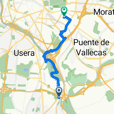
- Villaverde -Príncipe Pío - Paseo de Extremadura
- Distance
- 13.6 km
- Ascent
- 53 m
- Descent
- 38 m
- Location
- Villaverde, Madrid, Spain
- Camino de Uclés
- Distance
- 126.5 km
- Ascent
- 780 m
- Descent
- 508 m
- Location
- Villaverde, Madrid, Spain
- Orcasitas - Mostoles - Vuelta en Renfe
- Distance
- 40.2 km
- Ascent
- 258 m
- Descent
- 218 m
- Location
- Villaverde, Madrid, Spain
- PERALES DEL RIO-MADRID RIO.
- Distance
- 27.1 km
- Ascent
- 167 m
- Descent
- 148 m
- Location
- Villaverde, Madrid, Spain
- Ruta a la Casa de Campo por Venta La Rubia
- Distance
- 38.8 km
- Ascent
- 270 m
- Descent
- 264 m
- Location
- Villaverde, Madrid, Spain
- Orcasitas - Ciempozuelos
- Distance
- 57.7 km
- Ascent
- 221 m
- Descent
- 285 m
- Location
- Villaverde, Madrid, Spain
- Ruta hasta El Pardo
- Distance
- 46.9 km
- Ascent
- 210 m
- Descent
- 210 m
- Location
- Villaverde, Madrid, Spain
- Orcasitas - Fuenlabrada (El Naranjo)
- Distance
- 41.3 km
- Ascent
- 146 m
- Descent
- 146 m
- Location
- Villaverde, Madrid, Spain
Open it in the app