

Recorded via Apple Watch at Jun 22 at 12:20
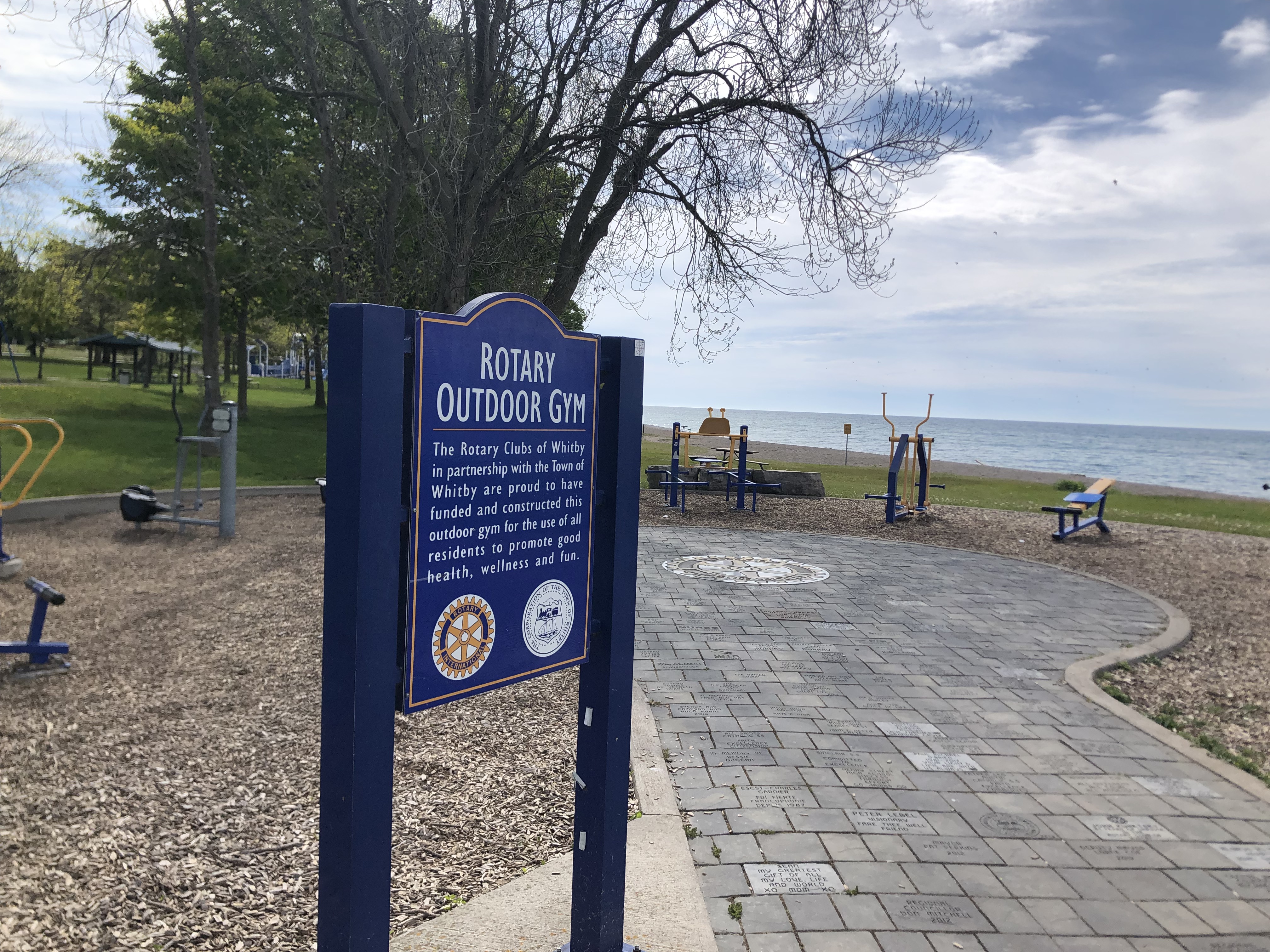
A cycling route starting in Oshawa, Ontario, Canada.
Overview
About this route
- 29 min
- Duration
- 8 km
- Distance
- 39 m
- Ascent
- 39 m
- Descent
- 16.6 km/h
- Avg. speed
- 143 m
- Max. altitude

Route quality
Waytypes & surfaces along the route
Waytypes
Road
3.7 km
(46 %)
Quiet road
1.7 km
(21 %)
Surfaces
Paved
7.4 km
(93 %)
Unpaved
0.4 km
(5 %)
Asphalt
7.4 km
(93 %)
Unpaved (undefined)
0.4 km
(5 %)
Undefined
0.2 km
(2 %)
Continue with Bikemap
Use, edit, or download this cycling route
You would like to ride Recorded via Apple Watch at Jun 22 at 12:20 or customize it for your own trip? Here is what you can do with this Bikemap route:
Free features
- Save this route as favorite or in collections
- Copy & plan your own version of this route
- Sync your route with Garmin or Wahoo
Premium features
Free trial for 3 days, or one-time payment. More about Bikemap Premium.
- Navigate this route on iOS & Android
- Export a GPX / KML file of this route
- Create your custom printout (try it for free)
- Download this route for offline navigation
Discover more Premium features.
Get Bikemap PremiumFrom our community
Other popular routes starting in Oshawa
 Double path oshawa
- Distance
- 29.5 km
- Ascent
- 124 m
- Descent
- 127 m
- Location
- Oshawa, Ontario, Canada
 South Whitby New Paths Circle Ride
- Distance
- 21.6 km
- Ascent
- 44 m
- Descent
- 22 m
- Location
- Oshawa, Ontario, Canada
 From Whitby to Courtice
- Distance
- 22.7 km
- Ascent
- 109 m
- Descent
- 139 m
- Location
- Oshawa, Ontario, Canada
 Waterfront Trail - Bowmanville to Port Hope and back
- Distance
- 79.4 km
- Ascent
- 486 m
- Descent
- 482 m
- Location
- Oshawa, Ontario, Canada
 643 Lakeview Ave, Oshawa to 647 Lakeview Ave, Oshawa
- Distance
- 17.6 km
- Ascent
- 62 m
- Descent
- 61 m
- Location
- Oshawa, Ontario, Canada
 Oshawa to Guildwood Via Oshawa Creek, Waterfront Trail, Duffin's and Highland Creeks
- Distance
- 58.8 km
- Ascent
- 382 m
- Descent
- 348 m
- Location
- Oshawa, Ontario, Canada
 Taunton Road to Frederick St. “Power Line Trail”! Whitby Ontario
- Distance
- 7.1 km
- Ascent
- 34 m
- Descent
- 27 m
- Location
- Oshawa, Ontario, Canada
 McLaughlin Bay through Darlington Prov Park.
- Distance
- 3.9 km
- Ascent
- 40 m
- Descent
- 32 m
- Location
- Oshawa, Ontario, Canada
Open it in the app