

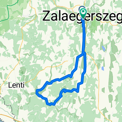
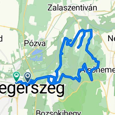
Gébárti út 58–62., Zalaegerszeg to Szabadság tér 12., Zalalövő
A cycling route starting in Zalaegerszeg, Zala County, Hungary.
Overview
About this route
- 1 h 21 min
- Duration
- 19.2 km
- Distance
- 78 m
- Ascent
- 52 m
- Descent
- 14.1 km/h
- Avg. speed
- 200 m
- Max. altitude

Route quality
Waytypes & surfaces along the route
Waytypes
Cycleway
15.4 km
(80 %)
Quiet road
1.7 km
(9 %)
Undefined
2.1 km
(11 %)
Surfaces
Paved
19 km
(99 %)
Asphalt
19 km
(99 %)
Undefined
0.2 km
(1 %)
Continue with Bikemap
Use, edit, or download this cycling route
You would like to ride Gébárti út 58–62., Zalaegerszeg to Szabadság tér 12., Zalalövő or customize it for your own trip? Here is what you can do with this Bikemap route:
Free features
- Save this route as favorite or in collections
- Copy & plan your own version of this route
- Sync your route with Garmin or Wahoo
Premium features
Free trial for 3 days, or one-time payment. More about Bikemap Premium.
- Navigate this route on iOS & Android
- Export a GPX / KML file of this route
- Create your custom printout (try it for free)
- Download this route for offline navigation
Discover more Premium features.
Get Bikemap PremiumFrom our community
Other popular routes starting in Zalaegerszeg
 Boncodfölde - Rákóczi utca
- Distance
- 19.4 km
- Ascent
- 143 m
- Descent
- 163 m
- Location
- Zalaegerszeg, Zala County, Hungary
 Route in Zalaegerszeg
- Distance
- 90.5 km
- Ascent
- 550 m
- Descent
- 543 m
- Location
- Zalaegerszeg, Zala County, Hungary
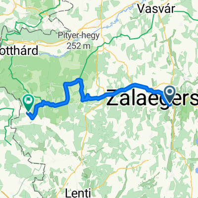
 Zala töltés - Karácsony hegy - Botfa - Göcseji út
- Distance
- 24.5 km
- Ascent
- 212 m
- Descent
- 212 m
- Location
- Zalaegerszeg, Zala County, Hungary
 Zalaegerszeg (Ságod), termálfürdő - Zalaegerszeg (Ságod), termálfürdő
- Distance
- 15.7 km
- Ascent
- 115 m
- Descent
- 112 m
- Location
- Zalaegerszeg, Zala County, Hungary
 Zalaegerszeg - Bajánsenye
- Distance
- 59.6 km
- Ascent
- 298 m
- Descent
- 230 m
- Location
- Zalaegerszeg, Zala County, Hungary
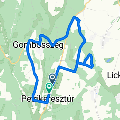 Kossuth Lajos utca, Petrikeresztúr - Kossuth Lajos utca, Petrikeresztúr
- Distance
- 13.2 km
- Ascent
- 323 m
- Descent
- 323 m
- Location
- Zalaegerszeg, Zala County, Hungary
 Zeg- szegek- Becsvölgye- Zeg
- Distance
- 49.5 km
- Ascent
- 475 m
- Descent
- 476 m
- Location
- Zalaegerszeg, Zala County, Hungary
 Berzsenyi Dániel utca, Zalaegerszeg - Deák Ferenc tér, Zalaegerszeg
- Distance
- 26.1 km
- Ascent
- 599 m
- Descent
- 593 m
- Location
- Zalaegerszeg, Zala County, Hungary
Open it in the app