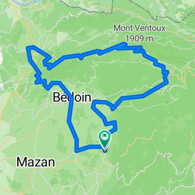
Le Grand Portal 12, Villes-sur-Auzon naar Cours le Cours 6, Villes-sur-Auzon
- 64.2 km
- 686 m
- 684 m
- Villes-sur-Auzon, Provence-Alpes-Côte d'Azur Region, France
A cycling route starting in Villes-sur-Auzon, Provence-Alpes-Côte d'Azur Region, France.
Overview
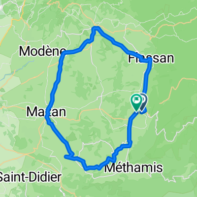
44 km, about 800 m elevation gain, clockwise, to the right,
4 times from 200 m to over 400 m elevation
created this 2 years ago
Route quality
Road
21.4 km
(57 %)
Quiet road
4.9 km
(13 %)
Paved
29.7 km
(79 %)
Asphalt
29.7 km
(79 %)
Undefined
7.9 km
(21 %)
Continue with Bikemap
You would like to ride F_23-Col de la Madlaine or customize it for your own trip? Here is what you can do with this Bikemap route:
Free trial for 3 days, or one-time payment. More about Bikemap Premium.
Discover more Premium features.
Get Bikemap PremiumFrom our community
Open it in the app