

Heisterberg-Bückeberg-Harrl über den Kamm
A cycling route starting in Sachsenhagen, Lower Saxony, Germany.
Overview
About this route
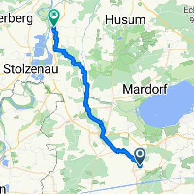
Via Heisterberg, Bückeberg, and Harrl to Bückeburg. Return trip via Fürstenweg.
- -:--
- Duration
- 74 km
- Distance
- 518 m
- Ascent
- 520 m
- Descent
- ---
- Avg. speed
- ---
- Max. altitude
Route highlights
Points of interest along the route
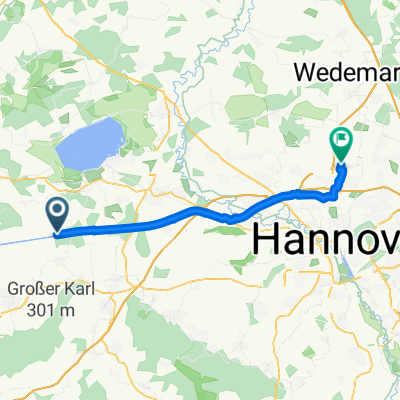
Point of interest after 39.5 km
Kaffeestube
Continue with Bikemap
Use, edit, or download this cycling route
You would like to ride Heisterberg-Bückeberg-Harrl über den Kamm or customize it for your own trip? Here is what you can do with this Bikemap route:
Free features
- Save this route as favorite or in collections
- Copy & plan your own version of this route
- Sync your route with Garmin or Wahoo
Premium features
Free trial for 3 days, or one-time payment. More about Bikemap Premium.
- Navigate this route on iOS & Android
- Export a GPX / KML file of this route
- Create your custom printout (try it for free)
- Download this route for offline navigation
Discover more Premium features.
Get Bikemap PremiumFrom our community
Other popular routes starting in Sachsenhagen
 Kloster Loccum - Erlengrund
- Distance
- 35.6 km
- Ascent
- 154 m
- Descent
- 151 m
- Location
- Sachsenhagen, Lower Saxony, Germany
 Düdinghäuser Berg bis Loccumer Berg CLONED FROM ROUTE 942754
- Distance
- 28.8 km
- Ascent
- 394 m
- Descent
- 393 m
- Location
- Sachsenhagen, Lower Saxony, Germany
 Von Sachsenhagen bis Langenhagen
- Distance
- 37.4 km
- Ascent
- 53 m
- Descent
- 53 m
- Location
- Sachsenhagen, Lower Saxony, Germany
 Leibnizring 6, Sachsenhagen nach Schaumburger Weg 49, Stadthagen
- Distance
- 17.5 km
- Ascent
- 180 m
- Descent
- 95 m
- Location
- Sachsenhagen, Lower Saxony, Germany
 Heisterberg-Bückeberg-Harrl über den Kamm
- Distance
- 74 km
- Ascent
- 518 m
- Descent
- 520 m
- Location
- Sachsenhagen, Lower Saxony, Germany
 Sachsenhagen- Köterberg
- Distance
- 91.1 km
- Ascent
- 1,204 m
- Descent
- 775 m
- Location
- Sachsenhagen, Lower Saxony, Germany
 Von Ricklingen nach Bassum Stage 4 PAUSE
- Distance
- 26.5 km
- Ascent
- 169 m
- Descent
- 195 m
- Location
- Sachsenhagen, Lower Saxony, Germany
 Storchenroute in der Samtgemeinde Sachsenhagen
- Distance
- 30.2 km
- Ascent
- 120 m
- Descent
- 118 m
- Location
- Sachsenhagen, Lower Saxony, Germany
Open it in the app