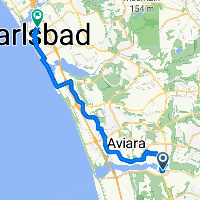
Route from 566 S Coast Hwy 101, Encinitas
- 33.6 km
- 23 m
- 46 m
- Encinitas, California, United States
A cycling route starting in Encinitas, California, United States.
Overview
Fist Route Try
created this 2 years ago

Route quality
Cycleway
17.6 km
(38 %)
Quiet road
6.5 km
(14 %)
Paved
29.6 km
(64 %)
Asphalt
29.1 km
(63 %)
Concrete
0.5 km
(1 %)
Undefined
16.7 km
(36 %)
Continue with Bikemap
You would like to ride Short and easy solo or customize it for your own trip? Here is what you can do with this Bikemap route:
Free trial for 3 days, or one-time payment. More about Bikemap Premium.
Discover more Premium features.
Get Bikemap PremiumFrom our community
Open it in the app