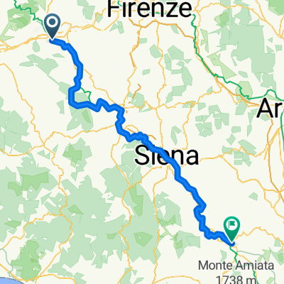
Montaione, Toscana Path .6 - Ring 'La Sughera'
A cycling route starting in San Miniato, Tuscany, Italy.
Overview
About this route
It starts nearby an old cypress tree on Via Collegalli, where it begins a gentle ascent on a gravel road. As you go up the vegetation on the sides of the road becomes increasingly dense shadowing all the road sheltering from the sun during the hottest periods. After about 1.5 km the vegetation thins out and you will come to some houses in the village of San Paolo, where on the top left there is a small church. From here the road is flat and after about 470 meters you will reach a junction where you turn left for the alternative route for Sughera, while continuing to the right starts the ring "Collegalli".
- 1 h 7 min
- Duration
- 15.4 km
- Distance
- 282 m
- Ascent
- 284 m
- Descent
- 13.8 km/h
- Avg. speed
- 227 m
- Max. altitude
Route quality
Waytypes & surfaces along the route
Waytypes
Track
5.1 km
(33 %)
Road
3.7 km
(24 %)
Surfaces
Paved
7.6 km
(49 %)
Unpaved
7.6 km
(49 %)
Gravel
4.3 km
(28 %)
Asphalt
3.9 km
(25 %)
Continue with Bikemap
Use, edit, or download this cycling route
You would like to ride Montaione, Toscana Path .6 - Ring 'La Sughera' or customize it for your own trip? Here is what you can do with this Bikemap route:
Free features
- Save this route as favorite or in collections
- Copy & plan your own version of this route
- Sync your route with Garmin or Wahoo
Premium features
Free trial for 3 days, or one-time payment. More about Bikemap Premium.
- Navigate this route on iOS & Android
- Export a GPX / KML file of this route
- Create your custom printout (try it for free)
- Download this route for offline navigation
Discover more Premium features.
Get Bikemap PremiumFrom our community
Other popular routes starting in San Miniato
 TA 05 - Montaione - Siena - TA 05 - Montaione - Siena
- Distance
- 77.6 km
- Ascent
- 1,805 m
- Descent
- 1,554 m
- Location
- San Miniato, Tuscany, Italy
 VIA FRANCIGENA- San Miniato/Siena
- Distance
- 84.6 km
- Ascent
- 1,415 m
- Descent
- 1,253 m
- Location
- San Miniato, Tuscany, Italy
 Via Francigena da San Miniato a Roma
- Distance
- 367 km
- Ascent
- 0 m
- Descent
- 0 m
- Location
- San Miniato, Tuscany, Italy
 Via Francigena in Bici - Tappa B15 - Da San Miniato a San Gimignano
- Distance
- 42 km
- Ascent
- 629 m
- Descent
- 470 m
- Location
- San Miniato, Tuscany, Italy
 3.nap San Minitano-Colle di Val d'Elsa
- Distance
- 58.5 km
- Ascent
- 650 m
- Descent
- 654 m
- Location
- San Miniato, Tuscany, Italy
 Via Fancigena 05
- Distance
- 144.1 km
- Ascent
- 1,276 m
- Descent
- 1,003 m
- Location
- San Miniato, Tuscany, Italy
 mon am
- Distance
- 40.1 km
- Ascent
- 621 m
- Descent
- 644 m
- Location
- San Miniato, Tuscany, Italy
 Toscana 1
- Distance
- 60.5 km
- Ascent
- 758 m
- Descent
- 758 m
- Location
- San Miniato, Tuscany, Italy
Open it in the app


