

Innviertel-Runde
A cycling route starting in Sankt Florian am Inn, Upper Austria, Austria.
Overview
About this route
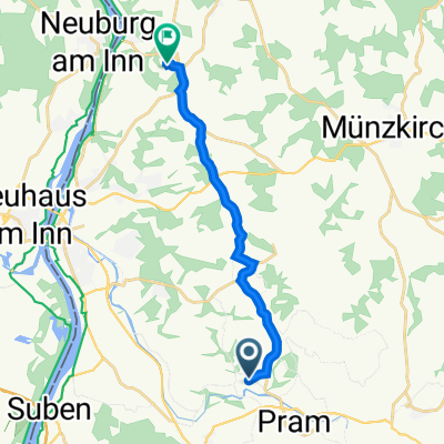
from the inn 'Wirt z`Wöging' near Diersbach along the Pram, through Innviertel and over Waizenkirchen, Kopfing and Münzkirchen back at Sauwald
- -:--
- Duration
- 88 km
- Distance
- 1,201 m
- Ascent
- 1,139 m
- Descent
- ---
- Avg. speed
- 744 m
- Max. altitude
Route quality
Waytypes & surfaces along the route
Waytypes
Quiet road
32.6 km
(37 %)
Road
17.6 km
(20 %)
Surfaces
Paved
12.3 km
(14 %)
Unpaved
0.9 km
(1 %)
Paved (undefined)
7.9 km
(9 %)
Asphalt
4.4 km
(5 %)
Continue with Bikemap
Use, edit, or download this cycling route
You would like to ride Innviertel-Runde or customize it for your own trip? Here is what you can do with this Bikemap route:
Free features
- Save this route as favorite or in collections
- Copy & plan your own version of this route
- Split it into stages to create a multi-day tour
- Sync your route with Garmin or Wahoo
Premium features
Free trial for 3 days, or one-time payment. More about Bikemap Premium.
- Navigate this route on iOS & Android
- Export a GPX / KML file of this route
- Create your custom printout (try it for free)
- Download this route for offline navigation
Discover more Premium features.
Get Bikemap PremiumFrom our community
Other popular routes starting in Sankt Florian am Inn
 2-Länder-Tour
- Distance
- 97.7 km
- Ascent
- 311 m
- Descent
- 422 m
- Location
- Sankt Florian am Inn, Upper Austria, Austria
 Hausruck-Runde
- Distance
- 94.5 km
- Ascent
- 801 m
- Descent
- 886 m
- Location
- Sankt Florian am Inn, Upper Austria, Austria
 Taufkirchen nach Zwickledt
- Distance
- 11.8 km
- Ascent
- 363 m
- Descent
- 210 m
- Location
- Sankt Florian am Inn, Upper Austria, Austria
 Innviertel-Runde
- Distance
- 88 km
- Ascent
- 1,201 m
- Descent
- 1,139 m
- Location
- Sankt Florian am Inn, Upper Austria, Austria
 Mayberg_Enzenk._St.Willibald_Kopfing_Beharding_Froschau_Mayberg
- Distance
- 40.5 km
- Ascent
- 522 m
- Descent
- 531 m
- Location
- Sankt Florian am Inn, Upper Austria, Austria
 От Aigerding 18 до Schießedt 11, Andorf
- Distance
- 16.1 km
- Ascent
- 134 m
- Descent
- 105 m
- Location
- Sankt Florian am Inn, Upper Austria, Austria
 Pramerdorf - Ingling -Wernstein - Pramerdorf
- Distance
- 34.8 km
- Ascent
- 73 m
- Descent
- 73 m
- Location
- Sankt Florian am Inn, Upper Austria, Austria
 Kösselbachtal_1
- Distance
- 51.6 km
- Ascent
- 529 m
- Descent
- 528 m
- Location
- Sankt Florian am Inn, Upper Austria, Austria
Open it in the app