


Rogoznica 15 to Janežovci 1
- 5.4 km
- 14 m
- 50 m
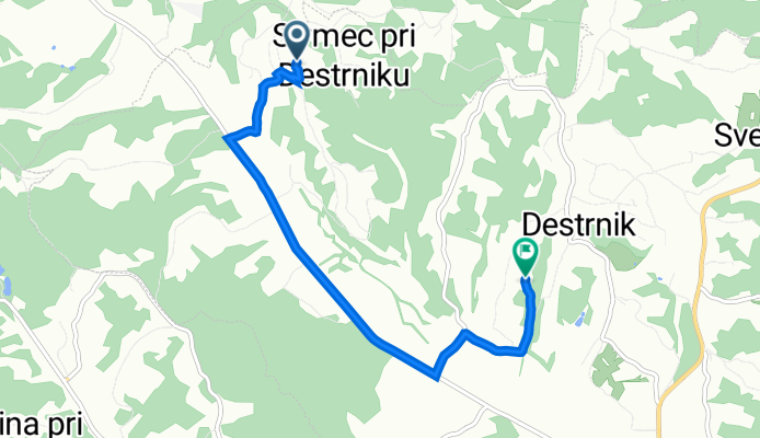
- Destrnik, Destrnik, Slovenia
A cycling route starting in Destrnik, Destrnik, Slovenia.
Overview
created this 2 years ago
Route quality
Road
3 km
(57 %)
Quiet road
1.9 km
(36 %)
Paved
4.3 km
(81 %)
Unpaved
0.4 km
(8 %)
Asphalt
4 km
(75 %)
Gravel
0.4 km
(8 %)
Continue with Bikemap
You would like to ride kmetija Lovrec - park živali or customize it for your own trip? Here is what you can do with this Bikemap route:
Free trial for 3 days, or one-time payment. More about Bikemap Premium.
Discover more Premium features.
Get Bikemap PremiumFrom our community
Open it in the app


