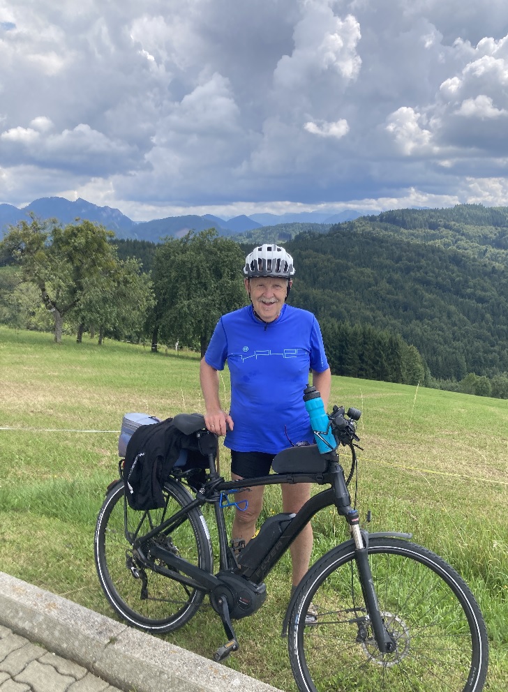
Waldkugelbahn in Nußbach
A cycling route starting in Pfarrkirchen bei Bad Hall, Upper Austria, Austria.
Overview
About this route
We park at the parking lot next to the 'Spanlwiese' sports field in Nußbach and follow Stretzer Street into Regengraben. Lastly - before the Feirer house - we go left uphill following the forest road to the Zorn tool shed. Then the forest road turns sharply right, but just 20 meters after this turn - hidden in the forest - is the lower end of the 'Waldkugelbahn'. This runs about 100 meters uphill through the forest terrain. A wonderful fun for children to let a small ball or a light wooden ball roll down there. The owners and initiators of the Waldkugelbahn assume no liability.
- -:--
- Duration
- 1.5 km
- Distance
- 96 m
- Ascent
- 8 m
- Descent
- ---
- Avg. speed
- 520 m
- Max. altitude
Continue with Bikemap
Use, edit, or download this cycling route
You would like to ride Waldkugelbahn in Nußbach or customize it for your own trip? Here is what you can do with this Bikemap route:
Free features
- Save this route as favorite or in collections
- Copy & plan your own version of this route
- Sync your route with Garmin or Wahoo
Premium features
Free trial for 3 days, or one-time payment. More about Bikemap Premium.
- Navigate this route on iOS & Android
- Export a GPX / KML file of this route
- Create your custom printout (try it for free)
- Download this route for offline navigation
Discover more Premium features.
Get Bikemap PremiumFrom our community
Other popular routes starting in Pfarrkirchen bei Bad Hall
- Waldkugelbahn in Nußbach
- Distance
- 1.5 km
- Ascent
- 96 m
- Descent
- 8 m
- Location
- Pfarrkirchen bei Bad Hall, Upper Austria, Austria
- Frühjahrstour Dauersdorf - über die Höhe nach Altpernstein - im Kremstalretour
- Distance
- 35.5 km
- Ascent
- 562 m
- Descent
- 557 m
- Location
- Pfarrkirchen bei Bad Hall, Upper Austria, Austria
- Von Pogmunkl nach Altpernstein
- Distance
- 14.4 km
- Ascent
- 595 m
- Descent
- 267 m
- Location
- Pfarrkirchen bei Bad Hall, Upper Austria, Austria
- Unbenannte Route
- Distance
- 29.4 km
- Ascent
- 246 m
- Descent
- 407 m
- Location
- Pfarrkirchen bei Bad Hall, Upper Austria, Austria
- Rund durchs Steyr- und Kremstal
- Distance
- 74.6 km
- Ascent
- 374 m
- Descent
- 374 m
- Location
- Pfarrkirchen bei Bad Hall, Upper Austria, Austria
- Steyrtalrunde - Richtung Ost
- Distance
- 51.3 km
- Ascent
- 345 m
- Descent
- 338 m
- Location
- Pfarrkirchen bei Bad Hall, Upper Austria, Austria
- Hausrunde
- Distance
- 35.2 km
- Ascent
- 384 m
- Descent
- 382 m
- Location
- Pfarrkirchen bei Bad Hall, Upper Austria, Austria
- Weissen Sattel
- Distance
- 33.7 km
- Ascent
- 671 m
- Descent
- 637 m
- Location
- Pfarrkirchen bei Bad Hall, Upper Austria, Austria
Open it in the app