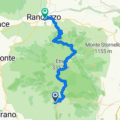
Etna Top trail
A cycling route starting in Ragalna, Sicily, Italy.
Overview
About this route
A fantastic trail on the highest european volcano
- -:--
- Duration
- 14.6 km
- Distance
- 1,040 m
- Ascent
- 1,041 m
- Descent
- ---
- Avg. speed
- 2,879 m
- Avg. speed
Continue with Bikemap
Use, edit, or download this cycling route
You would like to ride Etna Top trail or customize it for your own trip? Here is what you can do with this Bikemap route:
Free features
- Save this route as favorite or in collections
- Copy & plan your own version of this route
- Sync your route with Garmin or Wahoo
Premium features
Free trial for 3 days, or one-time payment. More about Bikemap Premium.
- Navigate this route on iOS & Android
- Export a GPX / KML file of this route
- Create your custom printout (try it for free)
- Download this route for offline navigation
Discover more Premium features.
Get Bikemap PremiumFrom our community
Other popular routes starting in Ragalna
- Etna-Catania
- Distance
- 44 km
- Ascent
- 4 m
- Descent
- 2,285 m
- Location
- Ragalna, Sicily, Italy
- Ragusa - Etna (Rifugio Sapienza)
- Distance
- 204 km
- Ascent
- 1,339 m
- Descent
- 2,506 m
- Location
- Ragalna, Sicily, Italy
- CALATA MUNGIBELLU
- Distance
- 30.9 km
- Ascent
- 198 m
- Descent
- 1,545 m
- Location
- Ragalna, Sicily, Italy
- altomontana
- Distance
- 68.1 km
- Ascent
- 881 m
- Descent
- 2,137 m
- Location
- Ragalna, Sicily, Italy
- Giro Italia / Messina - Etna (Belvedere Rifugio Sapienza)
- Distance
- 211.6 km
- Ascent
- 2,983 m
- Descent
- 4,863 m
- Location
- Ragalna, Sicily, Italy
- Etna climbing
- Distance
- 12.3 km
- Ascent
- 960 m
- Descent
- 960 m
- Location
- Ragalna, Sicily, Italy
- Rifugio Ariel Torre del Filosofo Etna Sud
- Distance
- 50.7 km
- Ascent
- 1,390 m
- Descent
- 2,333 m
- Location
- Ragalna, Sicily, Italy
- Etna Sud Milia Monte Egitto Bronte
- Distance
- 33.8 km
- Ascent
- 839 m
- Descent
- 839 m
- Location
- Ragalna, Sicily, Italy
Open it in the app