

ete 2024
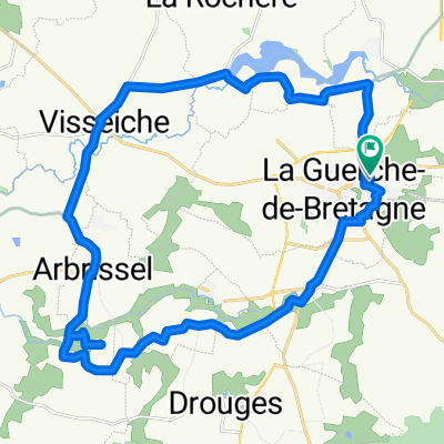
A cycling route starting in La Guerche-de-Bretagne, Brittany Region, France.
Overview
About this route
- -:--
- Duration
- 693.2 km
- Distance
- 4,178 m
- Ascent
- 4,181 m
- Descent
- ---
- Avg. speed
- 221 m
- Max. altitude

Route quality
Waytypes & surfaces along the route
Waytypes
Road
208 km
(30 %)
Path
180.2 km
(26 %)
Surfaces
Paved
270.3 km
(39 %)
Unpaved
152.5 km
(22 %)
Asphalt
256.5 km
(37 %)
Gravel
97 km
(14 %)
Continue with Bikemap
Use, edit, or download this cycling route
You would like to ride ete 2024 or customize it for your own trip? Here is what you can do with this Bikemap route:
Free features
- Save this route as favorite or in collections
- Copy & plan your own version of this route
- Split it into stages to create a multi-day tour
- Sync your route with Garmin or Wahoo
Premium features
Free trial for 3 days, or one-time payment. More about Bikemap Premium.
- Navigate this route on iOS & Android
- Export a GPX / KML file of this route
- Create your custom printout (try it for free)
- Download this route for offline navigation
Discover more Premium features.
Get Bikemap PremiumFrom our community
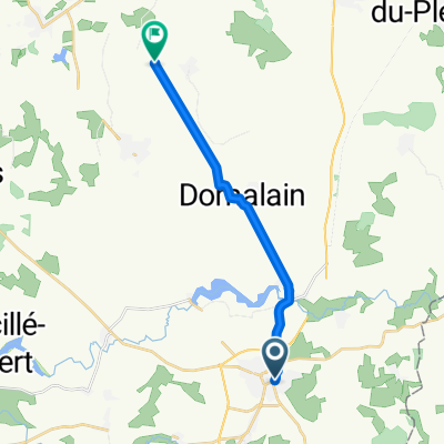
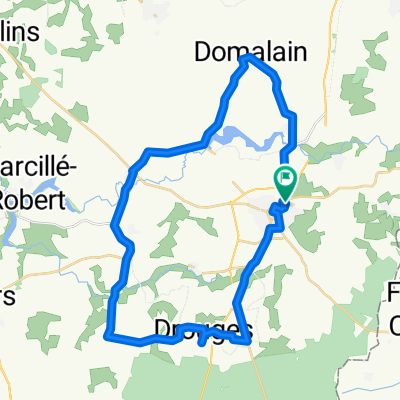
Other popular routes starting in La Guerche-de-Bretagne
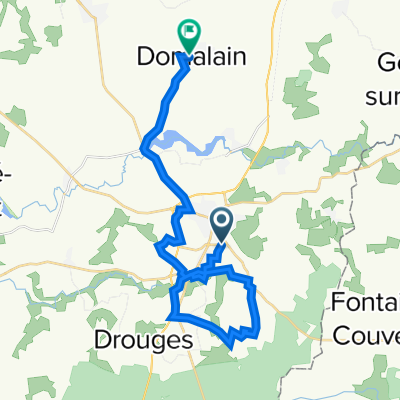 Itinéraire modéré en
- Distance
- 25.4 km
- Ascent
- 240 m
- Descent
- 178 m
- Location
- La Guerche-de-Bretagne, Brittany Region, France
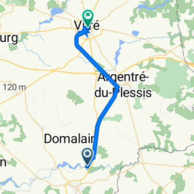 De Impasse Saint-Martin 2, Moutiers à Rue Garengeot 24, Vitré
- Distance
- 22.8 km
- Ascent
- 247 m
- Descent
- 223 m
- Location
- La Guerche-de-Bretagne, Brittany Region, France
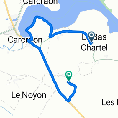 De Le Bas Chartrel 2, Moutiers à Monflon, La Guerche-de-Bretagne
- Distance
- 3.9 km
- Ascent
- 99 m
- Descent
- 174 m
- Location
- La Guerche-de-Bretagne, Brittany Region, France
 De Rue du Pont des Arches à Place du Château
- Distance
- 22.5 km
- Ascent
- 153 m
- Descent
- 125 m
- Location
- La Guerche-de-Bretagne, Brittany Region, France
 Recovered Route
- Distance
- 27.6 km
- Ascent
- 201 m
- Descent
- 202 m
- Location
- La Guerche-de-Bretagne, Brittany Region, France
 De Rue des Sablonnières 3, La Guerche-de-Bretagne à L'Enhaut, Bais
- Distance
- 12.8 km
- Ascent
- 75 m
- Descent
- 60 m
- Location
- La Guerche-de-Bretagne, Brittany Region, France
 Recovered Route
- Distance
- 34.9 km
- Ascent
- 328 m
- Descent
- 373 m
- Location
- La Guerche-de-Bretagne, Brittany Region, France
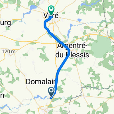
 Vitré, Fougères...
- Distance
- 22.4 km
- Ascent
- 150 m
- Descent
- 126 m
- Location
- La Guerche-de-Bretagne, Brittany Region, France
Open it in the app