

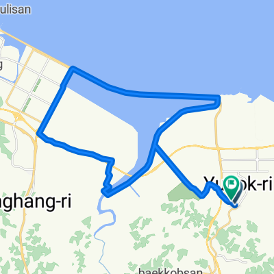
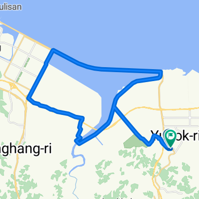
읍내동 1642, 당진시 ~ 읍내동 1540, 당진시
A cycling route starting in Tangjin, Chungcheongnam-do, South Korea.
Overview
About this route
- 3 h 21 min
- Duration
- 53.4 km
- Distance
- 223 m
- Ascent
- 228 m
- Descent
- 15.9 km/h
- Avg. speed
- 76 m
- Max. altitude

Route quality
Waytypes & surfaces along the route
Waytypes
Quiet road
25.7 km
(48 %)
Busy road
23.6 km
(44 %)
Surfaces
Paved
3.1 km
(6 %)
Unpaved
0.1 km
(<1 %)
Asphalt
2.4 km
(4 %)
Concrete
0.7 km
(1 %)
Continue with Bikemap
Use, edit, or download this cycling route
You would like to ride 읍내동 1642, 당진시 ~ 읍내동 1540, 당진시 or customize it for your own trip? Here is what you can do with this Bikemap route:
Free features
- Save this route as favorite or in collections
- Copy & plan your own version of this route
- Sync your route with Garmin or Wahoo
Premium features
Free trial for 3 days, or one-time payment. More about Bikemap Premium.
- Navigate this route on iOS & Android
- Export a GPX / KML file of this route
- Create your custom printout (try it for free)
- Download this route for offline navigation
Discover more Premium features.
Get Bikemap PremiumFrom our community
Other popular routes starting in Tangjin
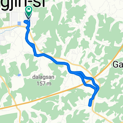
 송산면 410-49 ~ 송산면 410-49
- Distance
- 32.5 km
- Ascent
- 164 m
- Descent
- 185 m
- Location
- Tangjin, Chungcheongnam-do, South Korea
 수청동 859, 당진시 ~ 수청동 954-6, 당진시
- Distance
- 3.5 km
- Ascent
- 200 m
- Descent
- 220 m
- Location
- Tangjin, Chungcheongnam-do, South Korea
 쉬운 승차감
- Distance
- 10.3 km
- Ascent
- 38 m
- Descent
- 129 m
- Location
- Tangjin, Chungcheongnam-do, South Korea
![송악읍 481, 당진시Ph0]으로 라우팅](https://media.bikemap.net/routes/13731894/staticmaps/in_0a69b7ad-1cd1-446a-b616-0c7c13ad694c_400x400_bikemap-2021-3D-static.png) 송악읍 481, 당진시Ph0]으로 라우팅
송악읍 481, 당진시Ph0]으로 라우팅- Distance
- 20.1 km
- Ascent
- 107 m
- Descent
- 80 m
- Location
- Tangjin, Chungcheongnam-do, South Korea
 송산면 410-49 ~ 송산면 410-49
- Distance
- 34.3 km
- Ascent
- 170 m
- Descent
- 195 m
- Location
- Tangjin, Chungcheongnam-do, South Korea
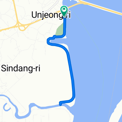 신평면 806-1 ~ 신평면 807-2
- Distance
- 7.2 km
- Ascent
- 10 m
- Descent
- 36 m
- Location
- Tangjin, Chungcheongnam-do, South Korea
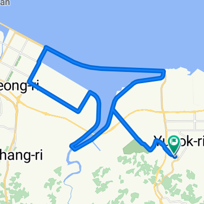
 읍내동 1642, 당진시 ~ 읍내동 1540, 당진시
- Distance
- 53.4 km
- Ascent
- 223 m
- Descent
- 228 m
- Location
- Tangjin, Chungcheongnam-do, South Korea
 송산면 ~ 송산면 410-49
- Distance
- 32.2 km
- Ascent
- 160 m
- Descent
- 187 m
- Location
- Tangjin, Chungcheongnam-do, South Korea
Open it in the app