

Route de Chenarlier 23, Troistorrents à Chemin de Vai l'Otau 4, Troistorrents
A cycling route starting in Troistorrents, Valais, Switzerland.
Overview
About this route
- 3 h 2 min
- Duration
- 41.7 km
- Distance
- 2,732 m
- Ascent
- 2,718 m
- Descent
- 13.7 km/h
- Avg. speed
- 1,480 m
- Max. altitude

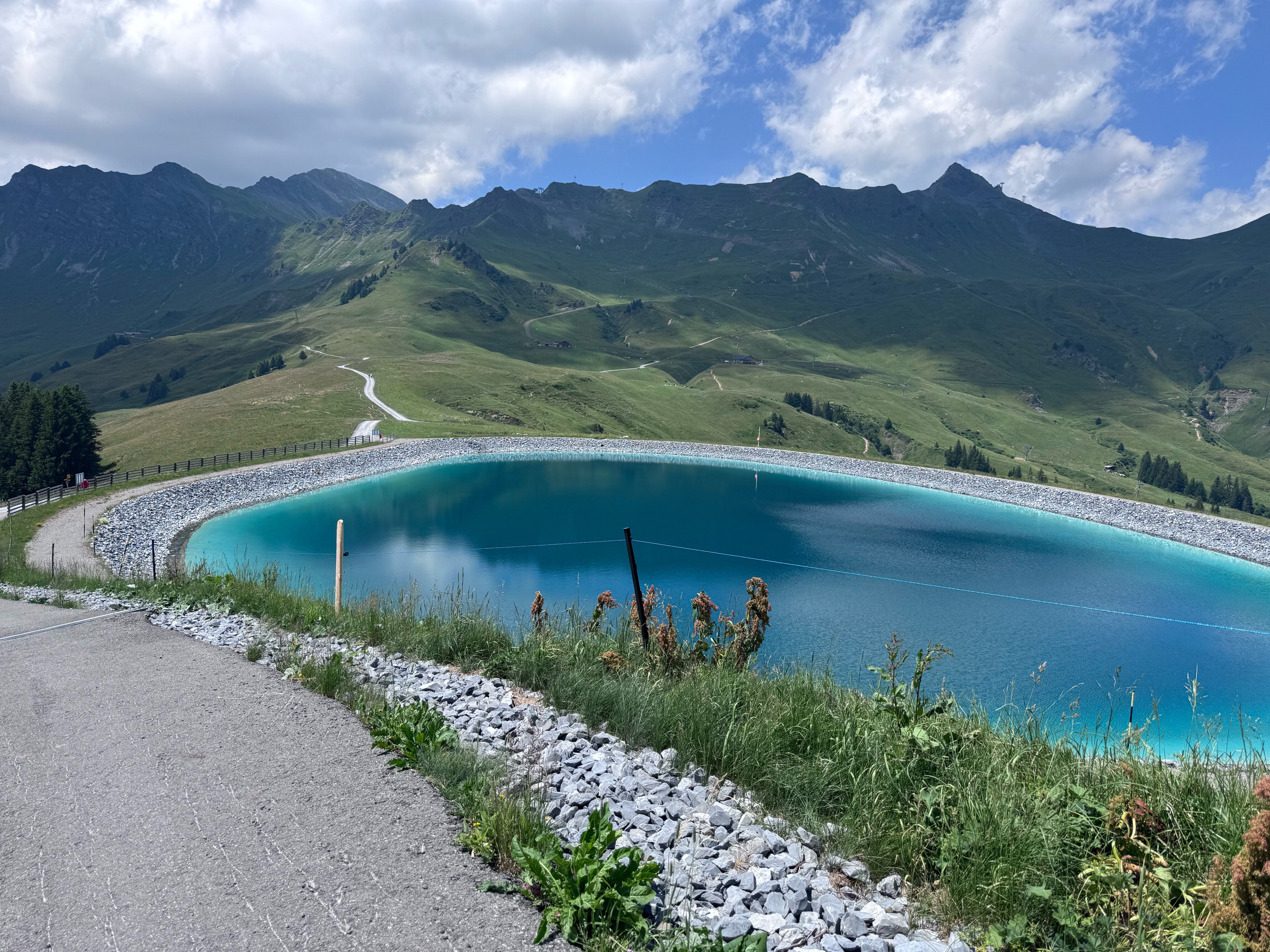
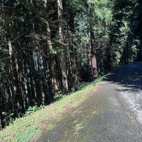
Route photos

Continue with Bikemap
Use, edit, or download this cycling route
You would like to ride Route de Chenarlier 23, Troistorrents à Chemin de Vai l'Otau 4, Troistorrents or customize it for your own trip? Here is what you can do with this Bikemap route:
Free features
- Save this route as favorite or in collections
- Copy & plan your own version of this route
- Sync your route with Garmin or Wahoo
Premium features
Free trial for 3 days, or one-time payment. More about Bikemap Premium.
- Navigate this route on iOS & Android
- Export a GPX / KML file of this route
- Create your custom printout (try it for free)
- Download this route for offline navigation
Discover more Premium features.
Get Bikemap PremiumFrom our community
Other popular routes starting in Troistorrents
 Chemin de Vai l'Otau, Troistorrents à Chemin de Vai l'Otau, Troistorrents
- Distance
- 46.8 km
- Ascent
- 1,818 m
- Descent
- 1,818 m
- Location
- Troistorrents, Valais, Switzerland
 Alpentour'98: Etappe 2 - Morgins, Yvorne, LesAgites,Lac de l'Hongrin, Mosses, Morgins
- Distance
- 109.2 km
- Ascent
- 2,757 m
- Descent
- 3,139 m
- Location
- Troistorrents, Valais, Switzerland
 Chatel - Tour Mont de Grange
- Distance
- 35.5 km
- Ascent
- 1,013 m
- Descent
- 1,011 m
- Location
- Troistorrents, Valais, Switzerland
 Alpentour'98: Etappe 1 - Croix, Pillon, Mosses, Morgins
- Distance
- 138.3 km
- Ascent
- 3,286 m
- Descent
- 3,831 m
- Location
- Troistorrents, Valais, Switzerland
 Rondje Chatel via het meer
- Distance
- 107.6 km
- Ascent
- 1,129 m
- Descent
- 1,130 m
- Location
- Troistorrents, Valais, Switzerland
 Alpine Tour: Chatel - Gruyère
- Distance
- 96.7 km
- Ascent
- 1,446 m
- Descent
- 1,895 m
- Location
- Troistorrents, Valais, Switzerland
 Chatel Tour
- Distance
- 26.4 km
- Ascent
- 1,384 m
- Descent
- 1,381 m
- Location
- Troistorrents, Valais, Switzerland
 Chemin de Vai l'Otau, Troistorrents à Chemin de Vai l'Otau, Troistorrents
- Distance
- 32.1 km
- Ascent
- 1,105 m
- Descent
- 1,104 m
- Location
- Troistorrents, Valais, Switzerland
Open it in the app