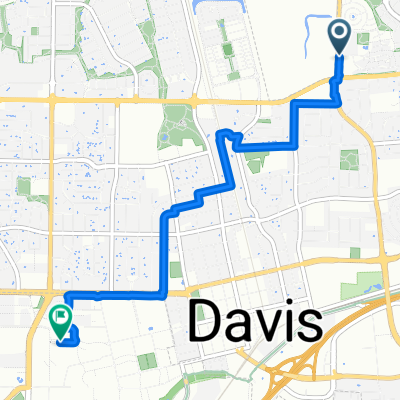


Short And Sweet Afternoon Route In Davis
- 2.9 km
- 12 m
- 4 m
- Davis, California, United States
A cycling route starting in Davis, California, United States.
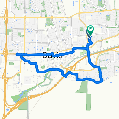
Overview
created this 2 years ago
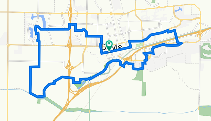
Route quality
Cycleway
12.4 km
(49 %)
Quiet road
8.1 km
(32 %)
Paved
11.9 km
(47 %)
Asphalt
9.3 km
(37 %)
Concrete
1.8 km
(7 %)
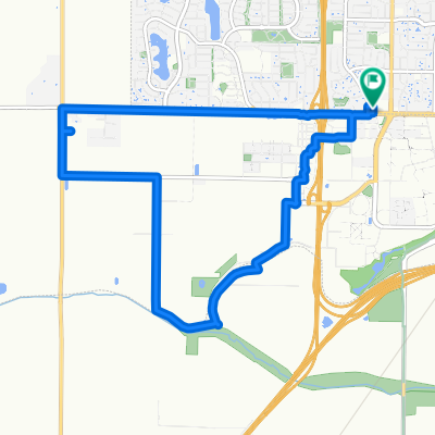
Route highlights
Food and Drink Stop Super Owl Brewery T-Kumi Lampost Pizza Madro Tea
Small Airport Docking Bay and Runway It may be possible to ride through and tour quickly
Putah Creek Trailhead
Yang Kee Dumpling
Continue with Bikemap
You would like to ride Davis Loop, but Prettier or customize it for your own trip? Here is what you can do with this Bikemap route:
Free trial for 3 days, or one-time payment. More about Bikemap Premium.
Discover more Premium features.
Get Bikemap PremiumFrom our community
Open it in the app