Recorded via Apple Watch on Oct 05 at 16:32
- 13.8 km
- 7 m
- 22 m
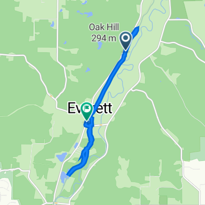
- Peninsula, Ohio, United States
A cycling route starting in Peninsula, Ohio, United States.
Overview
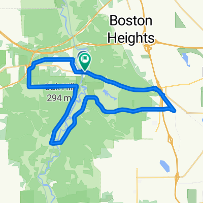
4 July 2023:
12.18 miles
24.36 miles
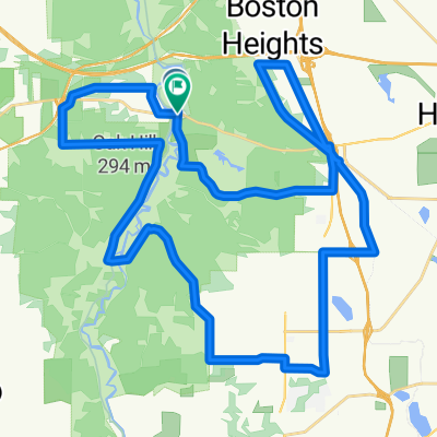
created this 2 years ago
Route quality
Cycleway
17.3 km
(88 %)
Quiet road
1 km
(5 %)
Paved
2.9 km
(15 %)
Unpaved
3.9 km
(20 %)
Gravel
3.9 km
(20 %)
Asphalt
1.6 km
(8 %)
Continue with Bikemap
You would like to ride Canal Exploration Center and Back or customize it for your own trip? Here is what you can do with this Bikemap route:
Free trial for 3 days, or one-time payment. More about Bikemap Premium.
Discover more Premium features.
Get Bikemap PremiumFrom our community
Open it in the app