

Rallarvegen from Haugastol to Flåm
A cycling route starting in Geilo, Buskerud, Norway.
Overview
About this route
Magnific views of the Hardanger Vidda and a nice downhill to Flåm
Schönste Blicke über die Hardanger Vidda, die Auto- und Zugreisenden verborgen bleiben.
- -:--
- Duration
- 78.2 km
- Distance
- 1,051 m
- Ascent
- 1,794 m
- Descent
- ---
- Avg. speed
- 1,330 m
- Max. altitude
Route quality
Waytypes & surfaces along the route
Waytypes
Cycleway
47 km
(60 %)
Access road
12 km
(15 %)
Surfaces
Paved
9.2 km
(12 %)
Unpaved
42.1 km
(54 %)
Gravel
36 km
(46 %)
Asphalt
7.2 km
(9 %)
Route highlights
Points of interest along the route

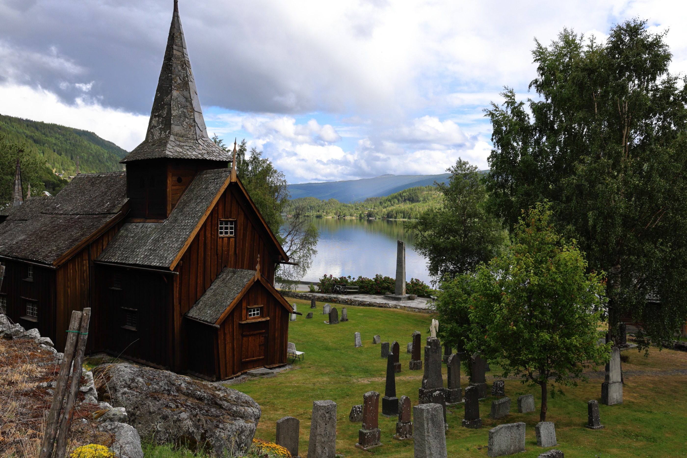
Photo after 1.6 km

Photo after 33 km

Photo after 55.9 km

Photo after 75.7 km
Continue with Bikemap
Use, edit, or download this cycling route
You would like to ride Rallarvegen from Haugastol to Flåm or customize it for your own trip? Here is what you can do with this Bikemap route:
Free features
- Save this route as favorite or in collections
- Copy & plan your own version of this route
- Sync your route with Garmin or Wahoo
Premium features
Free trial for 3 days, or one-time payment. More about Bikemap Premium.
- Navigate this route on iOS & Android
- Export a GPX / KML file of this route
- Create your custom printout (try it for free)
- Download this route for offline navigation
Discover more Premium features.
Get Bikemap PremiumFrom our community
Other popular routes starting in Geilo
 Rallarvegen: Haugastøl - Flåm
- Distance
- 14.4 km
- Ascent
- 783 m
- Descent
- 613 m
- Location
- Geilo, Buskerud, Norway
 Rallarvegen from Haugastol to Flåm
- Distance
- 78.3 km
- Ascent
- 2,045 m
- Descent
- 3,032 m
- Location
- Geilo, Buskerud, Norway
 Von Geilo nach Hovet Tag 7
- Distance
- 78.6 km
- Ascent
- 840 m
- Descent
- 837 m
- Location
- Geilo, Buskerud, Norway
 Rallarvegen: Haugastøl - Flåm
- Distance
- 77.4 km
- Ascent
- 1,800 m
- Descent
- 2,787 m
- Location
- Geilo, Buskerud, Norway
 Rallarvegen: Haugastøl - Flåm
- Distance
- 74.1 km
- Ascent
- 2,119 m
- Descent
- 3,106 m
- Location
- Geilo, Buskerud, Norway
 itinerario 2 bis con ciclabili rallervagen trolltunga lisafjorden stavanger
- Distance
- 540.9 km
- Ascent
- 2,904 m
- Descent
- 3,883 m
- Location
- Geilo, Buskerud, Norway
 Rallarvegen: Haugastøl - Flåm
- Distance
- 77.4 km
- Ascent
- 1,800 m
- Descent
- 2,787 m
- Location
- Geilo, Buskerud, Norway
 geilo naar Larvik
- Distance
- 274.7 km
- Ascent
- 690 m
- Descent
- 1,450 m
- Location
- Geilo, Buskerud, Norway
Open it in the app