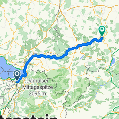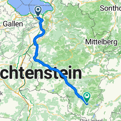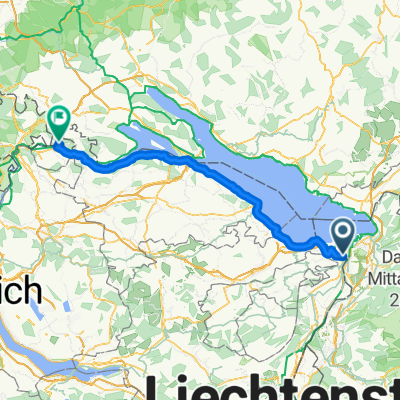
Sonnengarten, Höchst nach Rheinstraße, Gailingen am Hochrhein
- 93.4 km
- 679 m
- 635 m
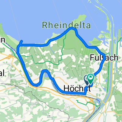
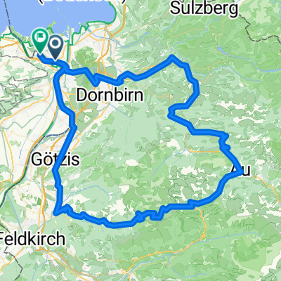
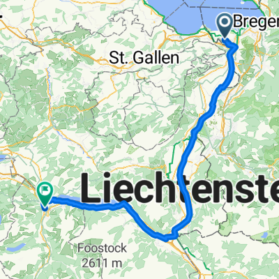
- Höchst, Vorarlberg, Austria
A cycling route starting in Höchst, Vorarlberg, Austria.
Overview
null
created this 2 years ago
Route quality
Quiet road
46.9 km
(39 %)
Road
44.5 km
(37 %)
Paved
86.5 km
(72 %)
Asphalt
79.3 km
(66 %)
Paved (undefined)
7.2 km
(6 %)
Undefined
33.7 km
(28 %)
Continue with Bikemap
You would like to ride Thurgau-Nollen 2023 kurz or customize it for your own trip? Here is what you can do with this Bikemap route:
Free trial for 3 days, or one-time payment. More about Bikemap Premium.
Discover more Premium features.
Get Bikemap PremiumFrom our community
Open it in the app