
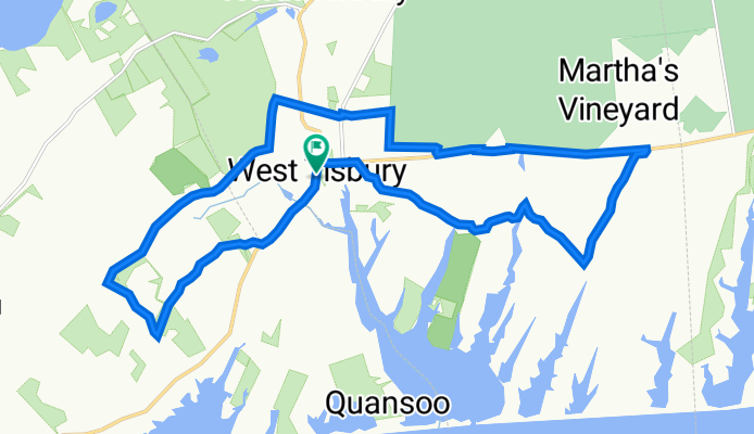
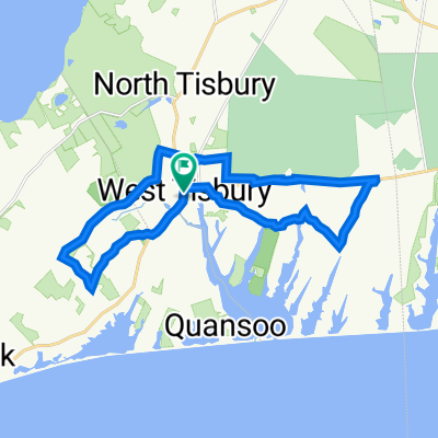
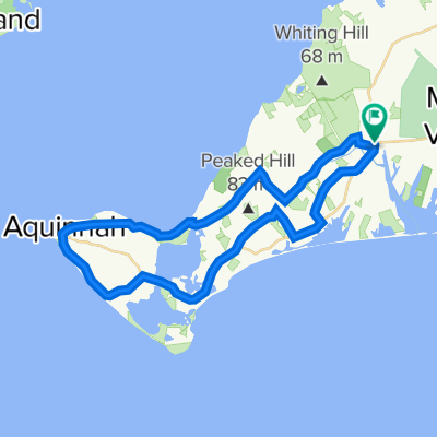
July 9 23
A cycling route starting in West Tisbury, Massachusetts, United States of America.
Overview
About this route
- -:--
- Duration
- 22.3 km
- Distance
- 160 m
- Ascent
- 160 m
- Descent
- ---
- Avg. speed
- 53 m
- Max. altitude

Route quality
Waytypes & surfaces along the route
Waytypes
Quiet road
15.9 km
(72 %)
Access road
3 km
(14 %)
Surfaces
Paved
3.4 km
(15 %)
Unpaved
2.2 km
(10 %)
Paved (undefined)
3.1 km
(14 %)
Sand
1.2 km
(5 %)
Continue with Bikemap
Use, edit, or download this cycling route
You would like to ride July 9 23 or customize it for your own trip? Here is what you can do with this Bikemap route:
Free features
- Save this route as favorite or in collections
- Copy & plan your own version of this route
- Sync your route with Garmin or Wahoo
Premium features
Free trial for 3 days, or one-time payment. More about Bikemap Premium.
- Navigate this route on iOS & Android
- Export a GPX / KML file of this route
- Create your custom printout (try it for free)
- Download this route for offline navigation
Discover more Premium features.
Get Bikemap PremiumFrom our community
Other popular routes starting in West Tisbury
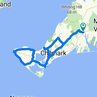
 Girlie So Groovy
- Distance
- 32.7 km
- Ascent
- 185 m
- Descent
- 184 m
- Location
- West Tisbury, Massachusetts, United States of America
 1047 State Rd, West Tisbury to 1047 State Rd, West Tisbury
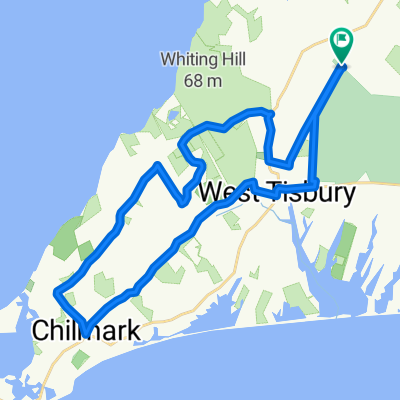
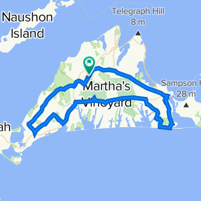
- Distance
- 45.4 km
- Ascent
- 406 m
- Descent
- 404 m
- Location
- West Tisbury, Massachusetts, United States of America
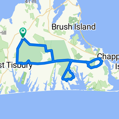 Feet in the Stirrup
- Distance
- 39.9 km
- Ascent
- 78 m
- Descent
- 78 m
- Location
- West Tisbury, Massachusetts, United States of America
 July 9 23
- Distance
- 22.3 km
- Ascent
- 160 m
- Descent
- 160 m
- Location
- West Tisbury, Massachusetts, United States of America
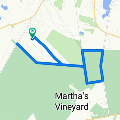 69 Oak Ln, West Tisbury to 69 Oak Ln, West Tisbury
- Distance
- 15.4 km
- Ascent
- 43 m
- Descent
- 48 m
- Location
- West Tisbury, Massachusetts, United States of America
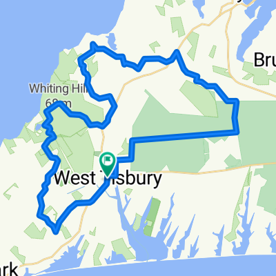 Forest Pants
- Distance
- 38.1 km
- Ascent
- 202 m
- Descent
- 202 m
- Location
- West Tisbury, Massachusetts, United States of America
 fall loop 22
- Distance
- 60.1 km
- Ascent
- 313 m
- Descent
- 315 m
- Location
- West Tisbury, Massachusetts, United States of America
 Ben and Megan
- Distance
- 37.5 km
- Ascent
- 343 m
- Descent
- 341 m
- Location
- West Tisbury, Massachusetts, United States of America
Open it in the app