
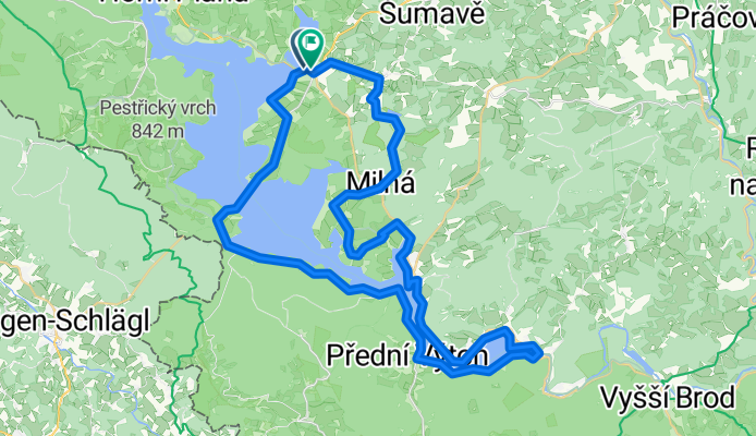
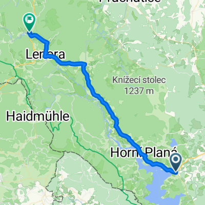
Lipno Juh
A cycling route starting in Horní Planá, Jihočeský kraj, Czechia.
Overview
About this route
- -:--
- Duration
- 57.5 km
- Distance
- 509 m
- Ascent
- 505 m
- Descent
- ---
- Avg. speed
- 713 m
- Max. altitude

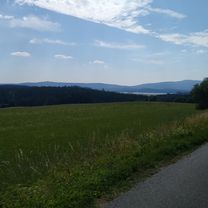
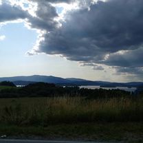
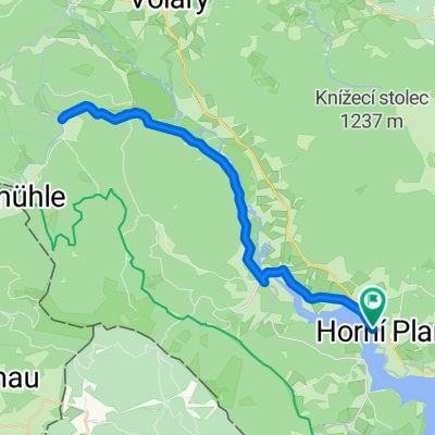
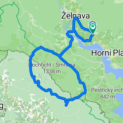
Route photos


Route quality
Waytypes & surfaces along the route
Waytypes
Road
14.4 km
(25 %)
Cycleway
13.2 km
(23 %)
Surfaces
Paved
44.9 km
(78 %)
Unpaved
3.5 km
(6 %)
Asphalt
36.8 km
(64 %)
Paved (undefined)
8.1 km
(14 %)
Continue with Bikemap
Use, edit, or download this cycling route
You would like to ride Lipno Juh or customize it for your own trip? Here is what you can do with this Bikemap route:
Free features
- Save this route as favorite or in collections
- Copy & plan your own version of this route
- Sync your route with Garmin or Wahoo
Premium features
Free trial for 3 days, or one-time payment. More about Bikemap Premium.
- Navigate this route on iOS & Android
- Export a GPX / KML file of this route
- Create your custom printout (try it for free)
- Download this route for offline navigation
Discover more Premium features.
Get Bikemap PremiumFrom our community
Other popular routes starting in Horní Planá
 Černá v Pošumaví nach Ludwigsreuter Straße
- Distance
- 24.1 km
- Ascent
- 413 m
- Descent
- 349 m
- Location
- Horní Planá, Jihočeský kraj, Czechia
 Lipno 06
- Distance
- 50.1 km
- Ascent
- 592 m
- Descent
- 597 m
- Location
- Horní Planá, Jihočeský kraj, Czechia
 Zaznamenáno přes Apple Watch na 23. 7. 17:24
- Distance
- 48.7 km
- Ascent
- 632 m
- Descent
- 1,336 m
- Location
- Horní Planá, Jihočeský kraj, Czechia
 Lipno Juh
- Distance
- 57.5 km
- Ascent
- 509 m
- Descent
- 505 m
- Location
- Horní Planá, Jihočeský kraj, Czechia
 Lipno sever
- Distance
- 62.6 km
- Ascent
- 469 m
- Descent
- 459 m
- Location
- Horní Planá, Jihočeský kraj, Czechia
 Šumava-3.den:presun z Černá v Pošumaví-Horní Vltavice,kemp
- Distance
- 42.9 km
- Ascent
- 456 m
- Descent
- 378 m
- Location
- Horní Planá, Jihočeský kraj, Czechia
 Volarská, Horní Planá do Volarská, Horní Planá
- Distance
- 45.9 km
- Ascent
- 931 m
- Descent
- 920 m
- Location
- Horní Planá, Jihočeský kraj, Czechia
 Pernek, Horní Planá nach Pernek, Horní Planá
- Distance
- 45.9 km
- Ascent
- 737 m
- Descent
- 738 m
- Location
- Horní Planá, Jihočeský kraj, Czechia
Open it in the app