

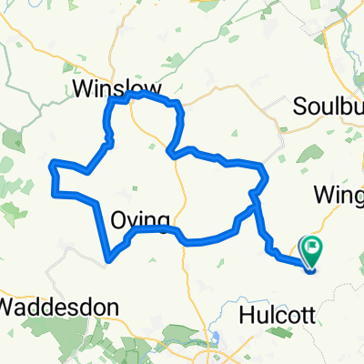
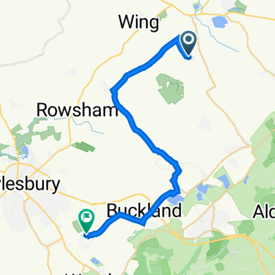
Vicarage Farm, Horton Road, Leighton Buzzard to 77 Winslow Road, Aylesbury
A cycling route starting in Cheddington, England, United Kingdom.
Overview
About this route
- 38 min
- Duration
- 10.7 km
- Distance
- 92 m
- Ascent
- 57 m
- Descent
- 16.6 km/h
- Avg. speed
- 136 m
- Max. altitude
Route quality
Waytypes & surfaces along the route
Waytypes
Road
8.8 km
(83 %)
Busy road
1.6 km
(15 %)
Surfaces
Paved
0.7 km
(6 %)
Unpaved
0.2 km
(2 %)
Asphalt
0.7 km
(6 %)
Gravel
0.2 km
(2 %)
Undefined
9.8 km
(92 %)
Continue with Bikemap
Use, edit, or download this cycling route
You would like to ride Vicarage Farm, Horton Road, Leighton Buzzard to 77 Winslow Road, Aylesbury or customize it for your own trip? Here is what you can do with this Bikemap route:
Free features
- Save this route as favorite or in collections
- Copy & plan your own version of this route
- Sync your route with Garmin or Wahoo
Premium features
Free trial for 3 days, or one-time payment. More about Bikemap Premium.
- Navigate this route on iOS & Android
- Export a GPX / KML file of this route
- Create your custom printout (try it for free)
- Download this route for offline navigation
Discover more Premium features.
Get Bikemap PremiumFrom our community
Other popular routes starting in Cheddington
 129 Winslow Road, Aylesbury to 1 Insall Close, Leighton Buzzard
- Distance
- 12.3 km
- Ascent
- 31 m
- Descent
- 66 m
- Location
- Cheddington, England, United Kingdom
 Carters Lane, Winslow and Hoggeston
- Distance
- 46.1 km
- Ascent
- 278 m
- Descent
- 273 m
- Location
- Cheddington, England, United Kingdom
 The Green 11, Mentmore to Walton Street 59
- Distance
- 15 km
- Ascent
- 58 m
- Descent
- 104 m
- Location
- Cheddington, England, United Kingdom
 Ride to the Horns
- Distance
- 153.6 km
- Ascent
- 1,328 m
- Descent
- 1,295 m
- Location
- Cheddington, England, United Kingdom
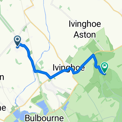 ivinghoe beacon
- Distance
- 7 km
- Ascent
- 134 m
- Descent
- 16 m
- Location
- Cheddington, England, United Kingdom
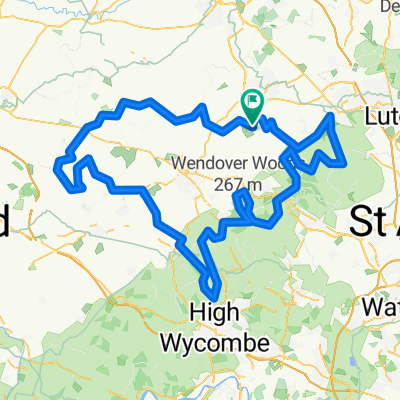
 Stag Ride - The Cheats route!
- Distance
- 29 km
- Ascent
- 195 m
- Descent
- 192 m
- Location
- Cheddington, England, United Kingdom
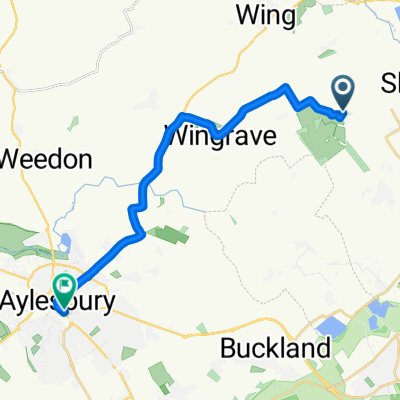
 Ledburn to WT via Wingrave
- Distance
- 19.7 km
- Ascent
- 165 m
- Descent
- 209 m
- Location
- Cheddington, England, United Kingdom
 22 Aldbury - Beacon - LB
- Distance
- 35.9 km
- Ascent
- 312 m
- Descent
- 315 m
- Location
- Cheddington, England, United Kingdom
Open it in the app