

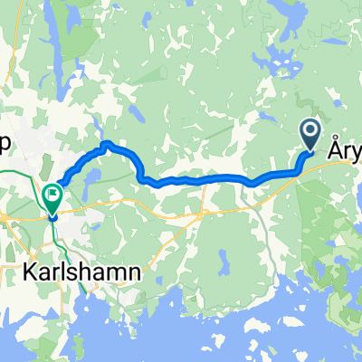
Väby to Prinsgatan 17
A cycling route starting in Bräkne-Hoby, Blekinge County, Sweden.
Overview
About this route
- 1 h 18 min
- Duration
- 14.7 km
- Distance
- 195 m
- Ascent
- 222 m
- Descent
- 11.3 km/h
- Avg. speed
- 76 m
- Max. altitude

Route quality
Waytypes & surfaces along the route
Waytypes
Road
10.4 km
(71 %)
Path
3.7 km
(25 %)
Surfaces
Paved
3.2 km
(22 %)
Asphalt
3.2 km
(22 %)
Undefined
11.5 km
(78 %)
Continue with Bikemap
Use, edit, or download this cycling route
You would like to ride Väby to Prinsgatan 17 or customize it for your own trip? Here is what you can do with this Bikemap route:
Free features
- Save this route as favorite or in collections
- Copy & plan your own version of this route
- Sync your route with Garmin or Wahoo
Premium features
Free trial for 3 days, or one-time payment. More about Bikemap Premium.
- Navigate this route on iOS & Android
- Export a GPX / KML file of this route
- Create your custom printout (try it for free)
- Download this route for offline navigation
Discover more Premium features.
Get Bikemap PremiumFrom our community
Other popular routes starting in Bräkne-Hoby
 Törnerydsvägen 684, Trensum nach Törnerydsvägen 684, Trensum
- Distance
- 29.2 km
- Ascent
- 591 m
- Descent
- 590 m
- Location
- Bräkne-Hoby, Blekinge County, Sweden
 Biskopsmålavägen 2 to Strömmavägen 1
- Distance
- 33.8 km
- Ascent
- 267 m
- Descent
- 276 m
- Location
- Bräkne-Hoby, Blekinge County, Sweden
 Schweden VIII Hütte Järnaviks nach Sölversborg
- Distance
- 108 km
- Ascent
- 305 m
- Descent
- 311 m
- Location
- Bräkne-Hoby, Blekinge County, Sweden
 Steady ride in Ronneby
- Distance
- 5.5 km
- Ascent
- 68 m
- Descent
- 60 m
- Location
- Bräkne-Hoby, Blekinge County, Sweden
 Gamla Riksvägen, Trensum to Köpmannagatan 18, Åhus
- Distance
- 74.1 km
- Ascent
- 424 m
- Descent
- 456 m
- Location
- Bräkne-Hoby, Blekinge County, Sweden
 Gamla Riksvägen 479, Trensum to Nyemöllevägen 6, Karlshamn
- Distance
- 11.9 km
- Ascent
- 160 m
- Descent
- 190 m
- Location
- Bräkne-Hoby, Blekinge County, Sweden
 Moderate route in Backary
- Distance
- 3.5 km
- Ascent
- 84 m
- Descent
- 68 m
- Location
- Bräkne-Hoby, Blekinge County, Sweden
 Väby to Prinsgatan 17
- Distance
- 14.7 km
- Ascent
- 195 m
- Descent
- 222 m
- Location
- Bräkne-Hoby, Blekinge County, Sweden
Open it in the app