

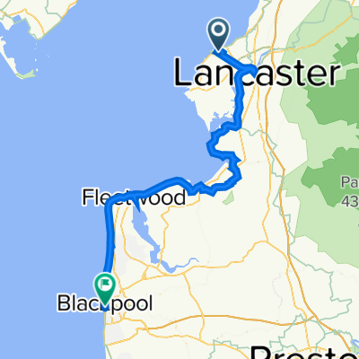
The Way of the Roses
A cycling route starting in Morecambe, England, United Kingdom.
Overview
About this route
- -:--
- Duration
- 270.6 km
- Distance
- 2,341 m
- Ascent
- 2,345 m
- Descent
- ---
- Avg. speed
- 406 m
- Max. altitude

Route quality
Waytypes & surfaces along the route
Waytypes
Quiet road
117.6 km
(43 %)
Road
74.1 km
(27 %)
Surfaces
Paved
149.5 km
(55 %)
Unpaved
3.5 km
(1 %)
Asphalt
145.7 km
(54 %)
Gravel
2.6 km
(<1 %)
Continue with Bikemap
Use, edit, or download this cycling route
You would like to ride The Way of the Roses or customize it for your own trip? Here is what you can do with this Bikemap route:
Free features
- Save this route as favorite or in collections
- Copy & plan your own version of this route
- Split it into stages to create a multi-day tour
- Sync your route with Garmin or Wahoo
Premium features
Free trial for 3 days, or one-time payment. More about Bikemap Premium.
- Navigate this route on iOS & Android
- Export a GPX / KML file of this route
- Create your custom printout (try it for free)
- Download this route for offline navigation
Discover more Premium features.
Get Bikemap PremiumFrom our community
Other popular routes starting in Morecambe
 Halton Promenade Circular
- Distance
- 19.7 km
- Ascent
- 101 m
- Descent
- 101 m
- Location
- Morecambe, England, United Kingdom
 Condor Green -Crosgill - Lune Valley - Morecambe Prom
- Distance
- 53.4 km
- Ascent
- 266 m
- Descent
- 267 m
- Location
- Morecambe, England, United Kingdom
 Moderate route in Morecambe
- Distance
- 25.6 km
- Ascent
- 0 m
- Descent
- 6 m
- Location
- Morecambe, England, United Kingdom
 Way of Roses
- Distance
- 314.5 km
- Ascent
- 2,464 m
- Descent
- 2,459 m
- Location
- Morecambe, England, United Kingdom
 Way of the Roses
- Distance
- 273.2 km
- Ascent
- 1,160 m
- Descent
- 1,158 m
- Location
- Morecambe, England, United Kingdom
 New Route Trail
- Distance
- 30.8 km
- Ascent
- 110 m
- Descent
- 110 m
- Location
- Morecambe, England, United Kingdom
 Morecambe to Knott End
- Distance
- 53.4 km
- Ascent
- 115 m
- Descent
- 113 m
- Location
- Morecambe, England, United Kingdom
 Michael's Rosy Way from Morecambe to Bridlington
- Distance
- 268.6 km
- Ascent
- 912 m
- Descent
- 908 m
- Location
- Morecambe, England, United Kingdom
Open it in the app