23_The Big Boobies Rit
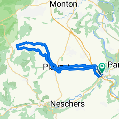
- 26.3 km
- 523 m
- 521 m
- Plauzat, Auvergne-Rhône-Alpes, France
A cycling route starting in Plauzat, Auvergne-Rhône-Alpes, France.
Overview
created this 2 years ago
Route quality
Road
17.3 km
(42 %)
Track
13.2 km
(32 %)
Paved
14.4 km
(35 %)
Unpaved
1.6 km
(4 %)
Asphalt
14 km
(34 %)
Gravel
1.6 km
(4 %)
Continue with Bikemap
You would like to ride 23_SAU1 or customize it for your own trip? Here is what you can do with this Bikemap route:
Free trial for 3 days, or one-time payment. More about Bikemap Premium.
Discover more Premium features.
Get Bikemap PremiumFrom our community
Open it in the app