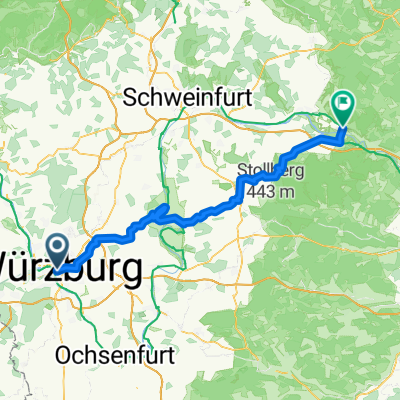
Würzburg to Schweinfurt
- 47.4 km
- 376 m
- 321 m
- Würzburg, Bavaria, Germany
A cycling route starting in Würzburg, Bavaria, Germany.
Overview
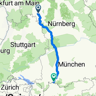
135 km
tagliando 75 km
created this 2 years ago
Route quality
Cycleway
25.6 km
(37 %)
Track
23.5 km
(34 %)
Paved
68.5 km
(99 %)
Asphalt
68.5 km
(99 %)
Undefined
0.7 km
(1 %)
Continue with Bikemap
You would like to ride Romantische 1 70 or customize it for your own trip? Here is what you can do with this Bikemap route:
Free trial for 3 days, or one-time payment. More about Bikemap Premium.
Discover more Premium features.
Get Bikemap PremiumFrom our community
Open it in the app