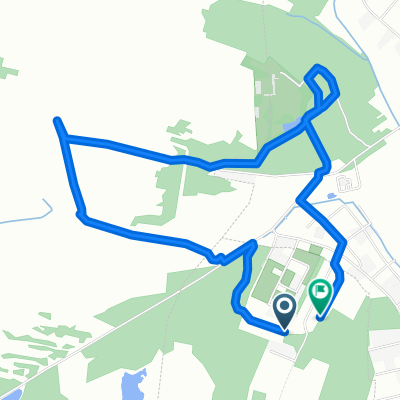
Malinowa - stadnina Zabajka
- 5.2 km
- 83 m
- 126 m
- Głogów Małopolski, Subcarpathian Voivodeship, Poland
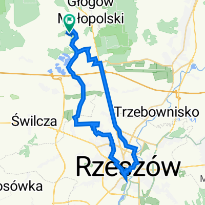
A cycling route starting in Głogów Małopolski, Subcarpathian Voivodeship, Poland.
Overview
created this 2 years ago
Route quality
Road
170.1 km
(42 %)
Quiet road
68.8 km
(17 %)
Paved
336.1 km
(83 %)
Unpaved
48.6 km
(12 %)
Asphalt
324 km
(80 %)
Gravel
32.4 km
(8 %)
Continue with Bikemap
You would like to ride Teoretyczna trasa Łemko or customize it for your own trip? Here is what you can do with this Bikemap route:
Free trial for 3 days, or one-time payment. More about Bikemap Premium.
Discover more Premium features.
Get Bikemap PremiumFrom our community
Open it in the app