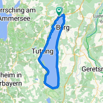
Starnberg Ufer Rundfahrt 50 KM
- 49.8 km
- 45 m
- 43 m
- Starnberg, Bavaria, Germany
A cycling route starting in Starnberg, Bavaria, Germany.
Overview
Beautiful, quiet route with numerous nice places to stop and rest.
created this 2 years ago
Route quality
Quiet road
17.4 km
(34 %)
Track
12.3 km
(24 %)
Paved
34.3 km
(67 %)
Unpaved
14.8 km
(29 %)
Asphalt
33.8 km
(66 %)
Gravel
6.7 km
(13 %)
Route highlights
Weißwurst-Pause
Blauer Kirchturm
Umkehr wegen Windbruch
nette Einkehr
Continue with Bikemap
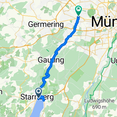
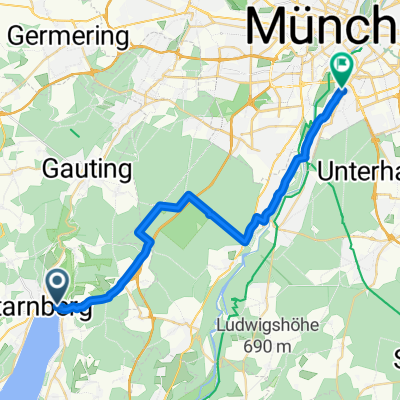
You would like to ride Starnberg-Dachau 2023-07-13 19:44:21 or customize it for your own trip? Here is what you can do with this Bikemap route:
Free trial for 3 days, or one-time payment. More about Bikemap Premium.
Discover more Premium features.
Get Bikemap PremiumFrom our community
Open it in the app