Ślęża
- 14.6 km
- 573 m
- 577 m
- Sobótka, Lower Silesian Voivodeship, Poland
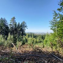
Dookoła Śleży i Raduni, przez zamek Górka, źródło Ślężan, przełącz Tąpadła, singletrack Suliwoods, zalew Sulistrowicki oraz skansen archeologiczny w Będkowicach.
Track
21 km63 %Quiet road
4.7 km14 %Paved
6 km(18 %)Unpaved
15 km(45 %)Ground
8 km24 %Asphalt
4.3 km13 %Free trial for 3 days, or one-time payment. More about Bikemap Premium.
Discover more Premium features.
Get Bikemap PremiumOpen it in the app