
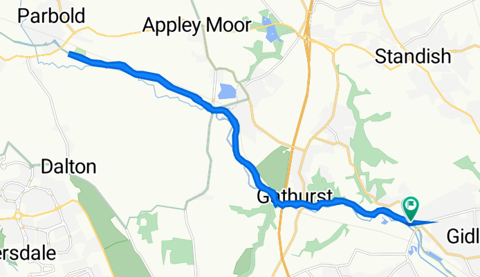
Woodhouse Lane 49 to Woodhouse Lane 49
A cycling route starting in Shevington, England, United Kingdom.
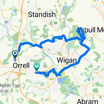
Overview
About this route
- 1 h 38 min
- Duration
- 17 km
- Distance
- 351 m
- Ascent
- 414 m
- Descent
- 10.5 km/h
- Avg. speed
- 77 m
- Max. altitude

Continue with Bikemap
Use, edit, or download this cycling route
You would like to ride Woodhouse Lane 49 to Woodhouse Lane 49 or customize it for your own trip? Here is what you can do with this Bikemap route:
Free features
- Save this route as favorite or in collections
- Copy & plan your own version of this route
- Sync your route with Garmin or Wahoo
Premium features
Free trial for 3 days, or one-time payment. More about Bikemap Premium.
- Navigate this route on iOS & Android
- Export a GPX / KML file of this route
- Create your custom printout (try it for free)
- Download this route for offline navigation
Discover more Premium features.
Get Bikemap PremiumFrom our community
Other popular routes starting in Shevington
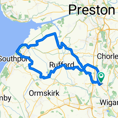 southport
- Distance
- 72.5 km
- Ascent
- 135 m
- Descent
- 133 m
- Location
- Shevington, England, United Kingdom
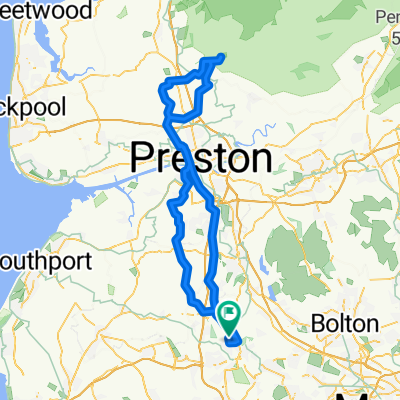 Wigan to trough beacon
- Distance
- 101.8 km
- Ascent
- 360 m
- Descent
- 361 m
- Location
- Shevington, England, United Kingdom
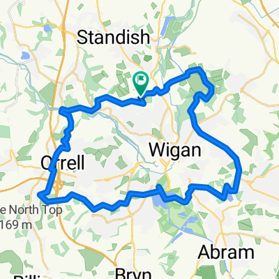
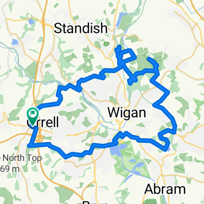 Haigh Again
- Distance
- 36.9 km
- Ascent
- 263 m
- Descent
- 263 m
- Location
- Shevington, England, United Kingdom
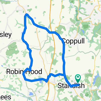
 Haigh Blast
- Distance
- 30.4 km
- Ascent
- 224 m
- Descent
- 224 m
- Location
- Shevington, England, United Kingdom
 Lengthy ride from June 9, 10:22
- Distance
- 47.4 km
- Ascent
- 221 m
- Descent
- 221 m
- Location
- Shevington, England, United Kingdom
 Whiston
- Distance
- 28.7 km
- Ascent
- 206 m
- Descent
- 273 m
- Location
- Shevington, England, United Kingdom
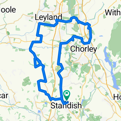
 Standish, Eccleston, Wrightington & Return
- Distance
- 22.3 km
- Ascent
- 159 m
- Descent
- 159 m
- Location
- Shevington, England, United Kingdom
 Wigan country side canal
- Distance
- 23.4 km
- Ascent
- 239 m
- Descent
- 232 m
- Location
- Shevington, England, United Kingdom
Open it in the app