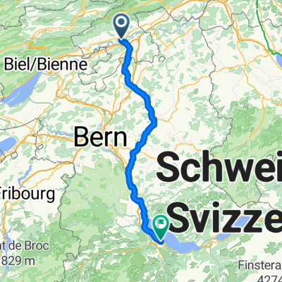
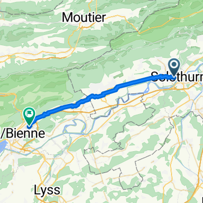
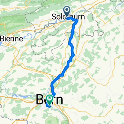
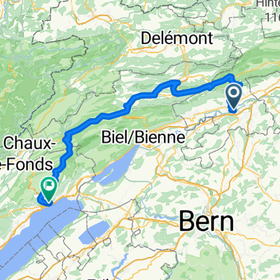
Solothurn - Küsnacht
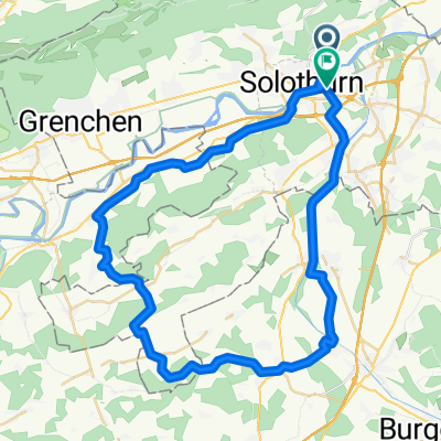
A cycling route starting in Solothurn, Canton of Solothurn, Switzerland.
Overview
About this route
null
- -:--
- Duration
- 114 km
- Distance
- 549 m
- Ascent
- 566 m
- Descent
- ---
- Avg. speed
- 445 m
- Avg. speed
Route photos
Route quality
Waytypes & surfaces along the route
Waytypes
Quiet road
43.3 km
(38 %)
Track
28.5 km
(25 %)
Surfaces
Paved
78.1 km
(68 %)
Unpaved
21.3 km
(19 %)
Asphalt
73.7 km
(65 %)
Gravel
19.6 km
(17 %)
Continue with Bikemap
Use, edit, or download this cycling route
You would like to ride Solothurn - Küsnacht or customize it for your own trip? Here is what you can do with this Bikemap route:
Free features
- Save this route as favorite or in collections
- Copy & plan your own version of this route
- Sync your route with Garmin or Wahoo
Premium features
Free trial for 3 days, or one-time payment. More about Bikemap Premium.
- Navigate this route on iOS & Android
- Export a GPX / KML file of this route
- Create your custom printout (try it for free)
- Download this route for offline navigation
Discover more Premium features.
Get Bikemap PremiumFrom our community
Other popular routes starting in Solothurn
- Moll-Treff 2025
- Distance
- 10.2 km
- Ascent
- 23 m
- Descent
- 23 m
- Location
- Solothurn, Canton of Solothurn, Switzerland
- Vorberg, Weissenstein
- Distance
- 20.6 km
- Ascent
- 555 m
- Descent
- 551 m
- Location
- Solothurn, Canton of Solothurn, Switzerland
- 6.Etappe_Tour de Suisse
- Distance
- 89.4 km
- Ascent
- 2,736 m
- Descent
- 2,180 m
- Location
- Solothurn, Canton of Solothurn, Switzerland
- Solothurn - Bucheggberg - Solothurn
- Distance
- 50 km
- Ascent
- 249 m
- Descent
- 244 m
- Location
- Solothurn, Canton of Solothurn, Switzerland
- Von Solothurn bis Hägendorf
- Distance
- 197.9 km
- Ascent
- 1,142 m
- Descent
- 1,211 m
- Location
- Solothurn, Canton of Solothurn, Switzerland
- 2-Solothurn-Lörrach-77km-130Hm
- Distance
- 77.3 km
- Ascent
- 887 m
- Descent
- 962 m
- Location
- Solothurn, Canton of Solothurn, Switzerland
- Solothurn - Küsnacht
- Distance
- 114 km
- Ascent
- 549 m
- Descent
- 566 m
- Location
- Solothurn, Canton of Solothurn, Switzerland
- Feierabendtour Richtung Balmberg
- Distance
- 19.4 km
- Ascent
- 1,025 m
- Descent
- 1,013 m
- Location
- Solothurn, Canton of Solothurn, Switzerland