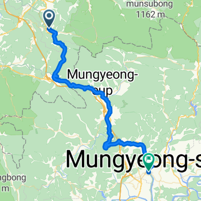
![Suanbo to Mungyeong [easy]](https://media.bikemap.net/routes/17631748/staticmaps/in_0c219f43-be1e-4566-a151-d6359837a392_400x400_bikemap-2021-3D-static.png)
Suanbo to Mungyeong [easy]
- 52.8 km
- 1,142 m
- 1,262 m
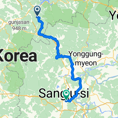
- Mungyeong, Gyeongsangbuk-do, South Korea
A cycling route starting in Mungyeong, Gyeongsangbuk-do, South Korea.
Overview
Created/Modified by using GPS Route Editor.
created this 2 years ago
Route quality
Road
54.4 km
(51 %)
Cycleway
7.5 km
(7 %)
Paved
65 km
(61 %)
Asphalt
59.7 km
(56 %)
Concrete
4.3 km
(4 %)
Continue with Bikemap
You would like to ride 괴산메디오폰도 or customize it for your own trip? Here is what you can do with this Bikemap route:
Free trial for 3 days, or one-time payment. More about Bikemap Premium.
Discover more Premium features.
Get Bikemap PremiumFrom our community
Open it in the app