

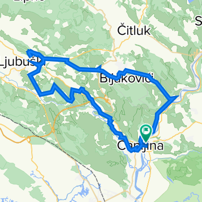
M17.3, Neum to Dalmatinerbahn, Ravno
A cycling route starting in Tasovčići, Federation of Bosnia and Herzegovina, Bosnia and Herzegovina.
Overview
About this route
- 1 h 51 min
- Duration
- 17.1 km
- Distance
- 549 m
- Ascent
- 267 m
- Descent
- 9.3 km/h
- Avg. speed
- 416 m
- Max. altitude

Route quality
Waytypes & surfaces along the route
Waytypes
Quiet road
7.5 km
(44 %)
Track
3.3 km
(19 %)
Undefined
6.3 km
(37 %)
Surfaces
Paved
9.6 km
(56 %)
Asphalt
9.6 km
(56 %)
Undefined
7.5 km
(44 %)
Continue with Bikemap
Use, edit, or download this cycling route
You would like to ride M17.3, Neum to Dalmatinerbahn, Ravno or customize it for your own trip? Here is what you can do with this Bikemap route:
Free features
- Save this route as favorite or in collections
- Copy & plan your own version of this route
- Sync your route with Garmin or Wahoo
Premium features
Free trial for 3 days, or one-time payment. More about Bikemap Premium.
- Navigate this route on iOS & Android
- Export a GPX / KML file of this route
- Create your custom printout (try it for free)
- Download this route for offline navigation
Discover more Premium features.
Get Bikemap PremiumFrom our community
Other popular routes starting in Tasovčići
 Čapljina - Turistička 1
- Distance
- 23.5 km
- Ascent
- 126 m
- Descent
- 124 m
- Location
- Tasovčići, Federation of Bosnia and Herzegovina, Bosnia and Herzegovina
 Od Kule do Kule
- Distance
- 16.9 km
- Ascent
- 45 m
- Descent
- 42 m
- Location
- Tasovčići, Federation of Bosnia and Herzegovina, Bosnia and Herzegovina
 Međugorje - Ljubuški - Kravice
- Distance
- 56.5 km
- Ascent
- 622 m
- Descent
- 621 m
- Location
- Tasovčići, Federation of Bosnia and Herzegovina, Bosnia and Herzegovina
 3P86+WG4, Gabela to 3P86+WG4, Gabela
- Distance
- 39.7 km
- Ascent
- 450 m
- Descent
- 452 m
- Location
- Tasovčići, Federation of Bosnia and Herzegovina, Bosnia and Herzegovina
 Čapljina - Svitava - Neum - Ploče - Ljubuški - Čapljina
- Distance
- 134.9 km
- Ascent
- 1,086 m
- Descent
- 1,085 m
- Location
- Tasovčići, Federation of Bosnia and Herzegovina, Bosnia and Herzegovina
 Ćirinom - Oko Hutova blata
- Distance
- 51.8 km
- Ascent
- 867 m
- Descent
- 866 m
- Location
- Tasovčići, Federation of Bosnia and Herzegovina, Bosnia and Herzegovina
 Krug sa starog mosta u Čapljini do Karaotoka
- Distance
- 21.7 km
- Ascent
- 81 m
- Descent
- 81 m
- Location
- Tasovčići, Federation of Bosnia and Herzegovina, Bosnia and Herzegovina
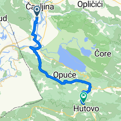 Capljina-Hutovo
- Distance
- 29.4 km
- Ascent
- 802 m
- Descent
- 528 m
- Location
- Tasovčići, Federation of Bosnia and Herzegovina, Bosnia and Herzegovina
Open it in the app