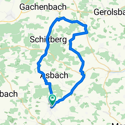
Würzburg - Rom 2001 Tag 4 CLONED FROM ROUTE 1293929
A cycling route starting in Altomünster, Bavaria, Germany.
Overview
About this route
Altomünster
München
Wurmtal
Starnberger See
Königsdorf
- -:--
- Duration
- 92 km
- Distance
- 364 m
- Ascent
- 251 m
- Descent
- ---
- Avg. speed
- ---
- Max. altitude
Continue with Bikemap
Use, edit, or download this cycling route
You would like to ride Würzburg - Rom 2001 Tag 4 CLONED FROM ROUTE 1293929 or customize it for your own trip? Here is what you can do with this Bikemap route:
Free features
- Save this route as favorite or in collections
- Copy & plan your own version of this route
- Split it into stages to create a multi-day tour
- Sync your route with Garmin or Wahoo
Premium features
Free trial for 3 days, or one-time payment. More about Bikemap Premium.
- Navigate this route on iOS & Android
- Export a GPX / KML file of this route
- Create your custom printout (try it for free)
- Download this route for offline navigation
Discover more Premium features.
Get Bikemap PremiumFrom our community
Other popular routes starting in Altomünster
- Route von Halmsrieder Straße 1, Altomünster
- Distance
- 21.8 km
- Ascent
- 219 m
- Descent
- 214 m
- Location
- Altomünster, Bavaria, Germany
- Vechelde - München 7. Etappe
- Distance
- 62.9 km
- Ascent
- 190 m
- Descent
- 159 m
- Location
- Altomünster, Bavaria, Germany
- Altomünster-Friedberg
- Distance
- 65 km
- Ascent
- 285 m
- Descent
- 285 m
- Location
- Altomünster, Bavaria, Germany
- Alto-Klingen-Aufhausen-Pipinsried-Alto
- Distance
- 31.9 km
- Ascent
- ---
- Descent
- ---
- Location
- Altomünster, Bavaria, Germany
- Würzburg - Rom 2001 Tag 4 CLONED FROM ROUTE 1293929
- Distance
- 92 km
- Ascent
- 364 m
- Descent
- 251 m
- Location
- Altomünster, Bavaria, Germany
- Würzburg - Rom 2001 Tag 4
- Distance
- 92 km
- Ascent
- 364 m
- Descent
- 251 m
- Location
- Altomünster, Bavaria, Germany
- Altomünster - Freising
- Distance
- 45.6 km
- Ascent
- 141 m
- Descent
- 198 m
- Location
- Altomünster, Bavaria, Germany
- Alto-Blumenthal-Schmarnzell-Alto
- Distance
- 32.6 km
- Ascent
- 373 m
- Descent
- 417 m
- Location
- Altomünster, Bavaria, Germany
Open it in the app