majoreczka
- 62.2 km
- 1,097 m
- 1,145 m
- Magaluf, Balearic Islands, Spain
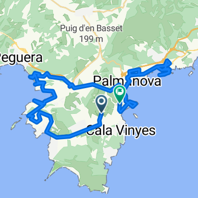
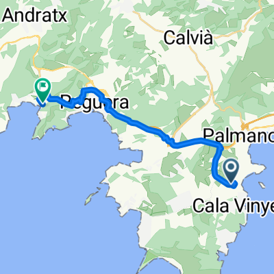
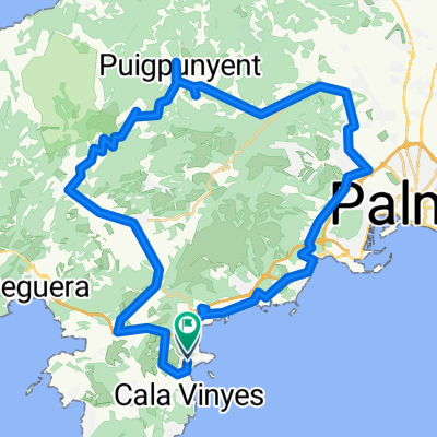
Mallorca - Palma Nova
A cycling route starting in Magaluf, Balearic Islands, Spain.
Overview
This route includes the two toughest climbs in Mallorca: Puig Mayor. 14 km of what seems to be and endless climb. Not very steep - but like Mount Ventoux in France it is demaning for its constant ascent.
Save your energy and enjoy the first part to Sollér. Get fresh water before you climb i Puerto Sollér.
Luch is great in the old part of Sollér. At the square (Placa de España) you will find suitable restaurants.
Following a beautiful ride over the mountain peak – cars are lead through a tunnel – you head back towards Palma.
Note: Crazy guys go further on from the top of Puig Mayor and to Sa Calobra.
If Puig Mayor is like Mount Ventoux, then Sa Calobra is like Alpe d'Huez. So full respect if you ride both in one day.
created this 14 years ago
Part of
3 stages
Route highlights
Udsigtspunkt og turens absolutte højdepunkt.
Benzintanke for proviant/vand
Continue with Bikemap
You would like to ride Palma Nova - King Stage of your tour or customize it for your own trip? Here is what you can do with this Bikemap route:
Free trial for 3 days, or one-time payment. More about Bikemap Premium.
Discover more Premium features.
Get Bikemap PremiumFrom our community
Open it in the app