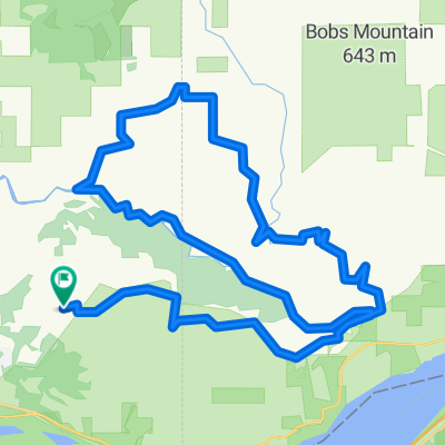
S 28th St, Washougal to Index St, Washougal
A cycling route starting in Washougal, Washington, United States of America.
Overview
About this route
- 1 h 4 min
- Duration
- 11.6 km
- Distance
- 48 m
- Ascent
- 49 m
- Descent
- 10.9 km/h
- Avg. speed
- 18 m
- Avg. speed
Route photos
Route quality
Waytypes & surfaces along the route
Waytypes
Path
11.2 km
(97 %)
Road
0.2 km
(2 %)
Surfaces
Unpaved
10.1 km
(87 %)
Unpaved (undefined)
10.1 km
(87 %)
Undefined
1.5 km
(13 %)
Continue with Bikemap
Use, edit, or download this cycling route
You would like to ride S 28th St, Washougal to Index St, Washougal or customize it for your own trip? Here is what you can do with this Bikemap route:
Free features
- Save this route as favorite or in collections
- Copy & plan your own version of this route
- Sync your route with Garmin or Wahoo
Premium features
Free trial for 3 days, or one-time payment. More about Bikemap Premium.
- Navigate this route on iOS & Android
- Export a GPX / KML file of this route
- Create your custom printout (try it for free)
- Download this route for offline navigation
Discover more Premium features.
Get Bikemap PremiumFrom our community
Other popular routes starting in Washougal
- Recovered Route
- Distance
- 20.7 km
- Ascent
- 81 m
- Descent
- 47 m
- Location
- Washougal, Washington, United States of America
- weekend warrior
- Distance
- 35.1 km
- Ascent
- 280 m
- Descent
- 279 m
- Location
- Washougal, Washington, United States of America
- Corbett to Hood River using Bikemap Auto
- Distance
- 82.1 km
- Ascent
- 496 m
- Descent
- 656 m
- Location
- Washougal, Washington, United States of America
- S 28th St, Washougal to Index St, Washougal
- Distance
- 11.6 km
- Ascent
- 48 m
- Descent
- 49 m
- Location
- Washougal, Washington, United States of America
- Cape Horn loop 7
- Distance
- 10.5 km
- Ascent
- 457 m
- Descent
- 457 m
- Location
- Washougal, Washington, United States of America
- Relaxed route in Washougal
- Distance
- 29.9 km
- Ascent
- 24 m
- Descent
- 24 m
- Location
- Washougal, Washington, United States of America
- Washougal to SR-14, Washougal
- Distance
- 8 km
- Ascent
- 26 m
- Descent
- 26 m
- Location
- Washougal, Washington, United States of America
- Corbett to Hood River
- Distance
- 76.5 km
- Ascent
- 675 m
- Descent
- 701 m
- Location
- Washougal, Washington, United States of America
Open it in the app