

Neuchatel-morat-Neuchatel
A cycling route starting in Neuchâtel, Canton of Neuchâtel, Switzerland.
Overview
About this route
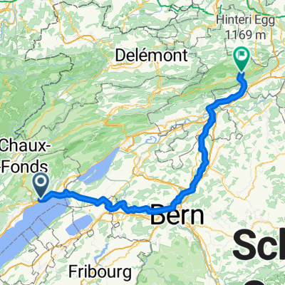
Neuchâtel
Morat
Neuchâtel
- -:--
- Duration
- 63.6 km
- Distance
- 838 m
- Ascent
- 405 m
- Descent
- ---
- Avg. speed
- 523 m
- Max. altitude
Route quality
Waytypes & surfaces along the route
Waytypes
Quiet road
18.4 km
(29 %)
Track
17.8 km
(28 %)
Surfaces
Paved
31.8 km
(50 %)
Unpaved
16.5 km
(26 %)
Asphalt
27.3 km
(43 %)
Loose gravel
7.6 km
(12 %)
Continue with Bikemap
Use, edit, or download this cycling route
You would like to ride Neuchatel-morat-Neuchatel or customize it for your own trip? Here is what you can do with this Bikemap route:
Free features
- Save this route as favorite or in collections
- Copy & plan your own version of this route
- Sync your route with Garmin or Wahoo
Premium features
Free trial for 3 days, or one-time payment. More about Bikemap Premium.
- Navigate this route on iOS & Android
- Export a GPX / KML file of this route
- Create your custom printout (try it for free)
- Download this route for offline navigation
Discover more Premium features.
Get Bikemap PremiumFrom our community
Other popular routes starting in Neuchâtel
 2. tag
- Distance
- 53.9 km
- Ascent
- 207 m
- Descent
- 214 m
- Location
- Neuchâtel, Canton of Neuchâtel, Switzerland
 Von Neuenburg bis Balsthal
- Distance
- 107.9 km
- Ascent
- 1,029 m
- Descent
- 987 m
- Location
- Neuchâtel, Canton of Neuchâtel, Switzerland
 E03 Valangin Villiers
- Distance
- 32.8 km
- Ascent
- 555 m
- Descent
- 554 m
- Location
- Neuchâtel, Canton of Neuchâtel, Switzerland
 Neuchâtel-Devrouze
- Distance
- 164.6 km
- Ascent
- 900 m
- Descent
- 1,149 m
- Location
- Neuchâtel, Canton of Neuchâtel, Switzerland
 Chaumont VTT
- Distance
- 4.2 km
- Ascent
- 382 m
- Descent
- 4 m
- Location
- Neuchâtel, Canton of Neuchâtel, Switzerland
 NeuenburgLa Rochelle 1
- Distance
- 900.2 km
- Ascent
- 7,352 m
- Descent
- 7,800 m
- Location
- Neuchâtel, Canton of Neuchâtel, Switzerland
 Snail-like route in Neuchâtel
- Distance
- 5.9 km
- Ascent
- 36 m
- Descent
- 36 m
- Location
- Neuchâtel, Canton of Neuchâtel, Switzerland
 Valangin - Coffrane - Les Geneveys-sur-Coffrane - Les Hauts-Geneveys - Vue des Alpes - Les Hauts-Geneveys - Cernier - Dombresson - Villiers- Valangin
- Distance
- 35.1 km
- Ascent
- 657 m
- Descent
- 657 m
- Location
- Neuchâtel, Canton of Neuchâtel, Switzerland
Open it in the app