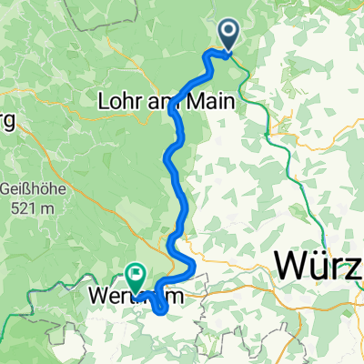
Gemünden am Main - Sandberg
- 68.4 km
- 900 m
- 581 m
- Gemünden am Main, Bavaria, Germany
A cycling route starting in Gemünden am Main, Bavaria, Germany.
Overview
varied route through the Seifriedsburg forest towards Neutzenbrunn - Weickersgrüben - Sodenberg (chapel and viewpoint at the 'rubble hill'). Back through Weyersfeld, cycling path to Karsbach - B27 crossed. Through the fields towards the Adelsberg model airfield - down into the village. Asphalt, gravel, forest paths and trails - everything is included in this route According to the speedometer 47 km with 885 m of elevation gain.
created this 14 years ago
Route highlights
trau dich! hier gehts unwegsam weiter! Einfach auf dem Hohlweg bleiben
folge der Hinweistafel "Kapelle" ab der Weggabelung im Wald gehts zum Ende hin knackig berauf.
Aussichtspunkt "Schutthalde" Blick in die Rhön
Sodenberger Hof; Gaststätte nicht mehr geöffnet!!
Continue with Bikemap
You would like to ride Wernfeld - Seifr.burg - Sodenberg - Karsbach - Wernfeld or customize it for your own trip? Here is what you can do with this Bikemap route:
Free trial for 3 days, or one-time payment. More about Bikemap Premium.
Discover more Premium features.
Get Bikemap PremiumFrom our community
Open it in the app