

102 W Broad St, Columbus to 6 N Washington St, Millersburg
A cycling route starting in Columbus, Ohio, United States.
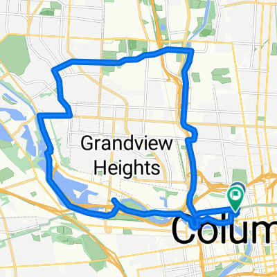
Overview
About this route
- 8 h 38 min
- Duration
- 148.3 km
- Distance
- 774 m
- Ascent
- 724 m
- Descent
- 17.2 km/h
- Avg. speed
- 391 m
- Max. altitude

Route quality
Waytypes & surfaces along the route
Waytypes
Cycleway
124.6 km
(84 %)
Quiet road
7.4 km
(5 %)
Surfaces
Paved
89 km
(60 %)
Unpaved
4.5 km
(3 %)
Asphalt
77.1 km
(52 %)
Paved (undefined)
10.4 km
(7 %)
Continue with Bikemap
Use, edit, or download this cycling route
You would like to ride 102 W Broad St, Columbus to 6 N Washington St, Millersburg or customize it for your own trip? Here is what you can do with this Bikemap route:
Free features
- Save this route as favorite or in collections
- Copy & plan your own version of this route
- Split it into stages to create a multi-day tour
- Sync your route with Garmin or Wahoo
Premium features
Free trial for 3 days, or one-time payment. More about Bikemap Premium.
- Navigate this route on iOS & Android
- Export a GPX / KML file of this route
- Create your custom printout (try it for free)
- Download this route for offline navigation
Discover more Premium features.
Get Bikemap PremiumFrom our community
Other popular routes starting in Columbus
 B's▶️ Martin's
- Distance
- 2.2 km
- Ascent
- 3 m
- Descent
- 3 m
- Location
- Columbus, Ohio, United States
 Late Nite Slicet to Olentangy River Road
- Distance
- 10.9 km
- Ascent
- 74 m
- Descent
- 66 m
- Location
- Columbus, Ohio, United States
 N High St, Columbus to S High St, Columbus
- Distance
- 5.4 km
- Ascent
- 98 m
- Descent
- 100 m
- Location
- Columbus, Ohio, United States
 From Columbus to Gambier
- Distance
- 1.5 km
- Ascent
- 9 m
- Descent
- 10 m
- Location
- Columbus, Ohio, United States
 Moderate route
- Distance
- 0.5 km
- Ascent
- 8 m
- Descent
- 24 m
- Location
- Columbus, Ohio, United States
 Olentangy trail
- Distance
- 21.6 km
- Ascent
- 73 m
- Descent
- 63 m
- Location
- Columbus, Ohio, United States
 Chantelle ▶️ Goodale 🌳
- Distance
- 4.2 km
- Ascent
- 20 m
- Descent
- 40 m
- Location
- Columbus, Ohio, United States
 New Public Ln, Columbus to Daniel Burnham Square, Columbus
- Distance
- 20.3 km
- Ascent
- 106 m
- Descent
- 110 m
- Location
- Columbus, Ohio, United States
Open it in the app