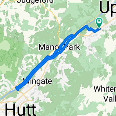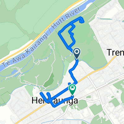
Barton Avenue to Fergusson Drive
- 5.2 km
- 34 m
- 52 m
- Upper Hutt, Wellington Region, New Zealand
A cycling route starting in Upper Hutt, Wellington Region, New Zealand.
Overview
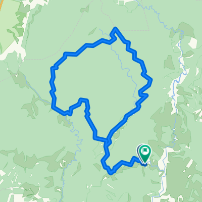
Maymorn to RTR
created this 2 years ago
Route quality
Track
19.2 km
(65 %)
Quiet road
8 km
(27 %)
Paved
6.8 km
(23 %)
Unpaved
21.5 km
(73 %)
Gravel
19.2 km
(65 %)
Paved (undefined)
4.4 km
(15 %)
Continue with Bikemap
You would like to ride Day 1 Remutaka Trail or customize it for your own trip? Here is what you can do with this Bikemap route:
Free trial for 3 days, or one-time payment. More about Bikemap Premium.
Discover more Premium features.
Get Bikemap PremiumFrom our community
Open it in the app