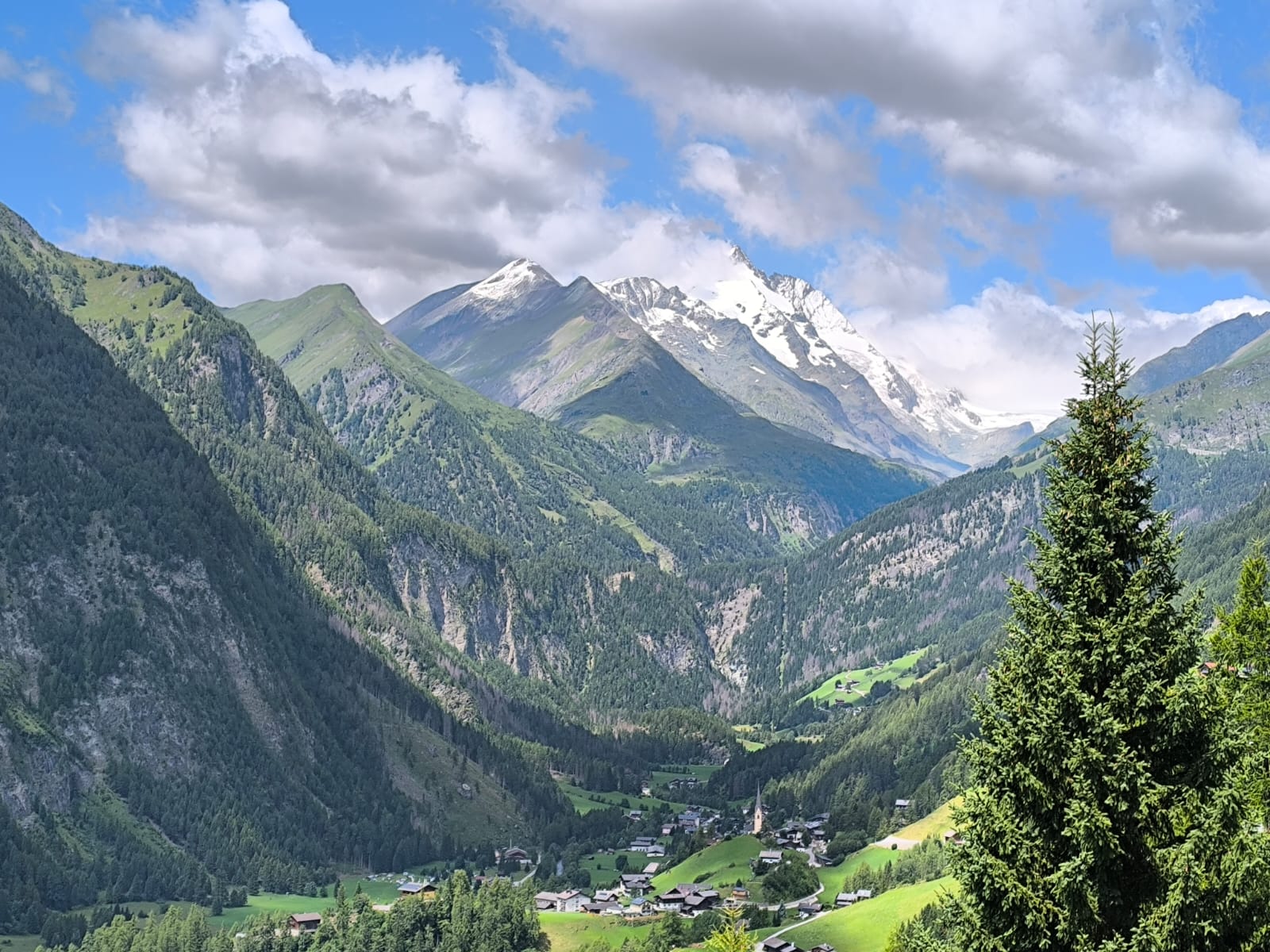
Alpe-Adria Trail 1-1
- 18.7 km
- 418 m
- 1,270 m
- Heiligenblut am Großglockner, Carinthia, Austria
A cycling route starting in Heiligenblut am Großglockner, Carinthia, Austria.
Overview
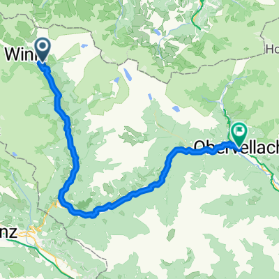
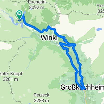
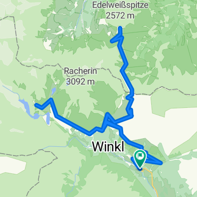
RR-Climb: Heiligenblut-Edelweissspitze/Grossglockner-Bad Gastein
created this 2 years ago
Route quality
Road
46.5 km
(48 %)
Quiet road
22.3 km
(23 %)
Paved
90.1 km
(93 %)
Unpaved
1 km
(1 %)
Asphalt
90.1 km
(93 %)
Gravel
1 km
(1 %)
Undefined
5.8 km
(6 %)
Continue with Bikemap
You would like to ride RR-Berg: Heiligenblut-Edelweissspitze/Grossglockner-Bad Gastein or customize it for your own trip? Here is what you can do with this Bikemap route:
Free trial for 3 days, or one-time payment. More about Bikemap Premium.
Discover more Premium features.
Get Bikemap PremiumFrom our community
Open it in the app