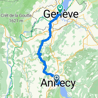
Annecy - Valence (+ Dolce Via)
A cycling route starting in Annecy, Auvergne-Rh么ne-Alpes, France.
Overview
About this route
-
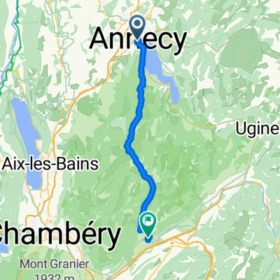
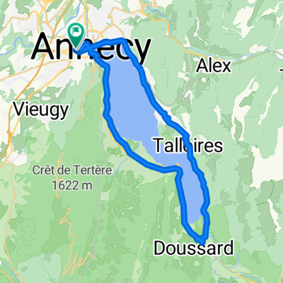
TREN Valence - Annecy (3h20m) - hasta el Sur del lago (20km)
-
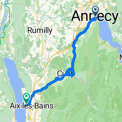
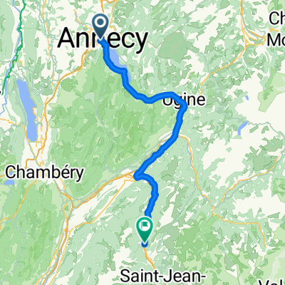
Annecy (sur lago) - Chevillard (50km)聽
-
Chevillard - La Terrasse (40 km)
-
La Terrasse - Voreppe (45km)
-
Voreppe - Saint-Nazaire-en-Royans (45km)
-
Saint-Nazaire-en-Royans - Tournon Sur Rhone (50km)
-
BUS/TREN a Saint Agreve
-
Saint Agreve - Saint Sauveur de Montagut (40km)
-
Saint Sauveur de Montagut - VALENCE (45km)
- -:--
- Duration
- 418.8 km
- Distance
- 4,168 m
- Ascent
- 4,505 m
- Descent
- ---
- Avg. speed
- 1,046 m
- Max. altitude
Route quality
Waytypes & surfaces along the route
Waytypes
Cycleway
171.7 km
(41 %)
Quiet road
134 km
(32 %)
Surfaces
Paved
226.1 km
(54 %)
Unpaved
46.1 km
(11 %)
Asphalt
222 km
(53 %)
Gravel
20.9 km
(5 %)
Continue with Bikemap
Use, edit, or download this cycling route
You would like to ride Annecy - Valence (+ Dolce Via) or customize it for your own trip? Here is what you can do with this Bikemap route:
Free features
- Save this route as favorite or in collections
- Copy & plan your own version of this route
- Split it into stages to create a multi-day tour
- Sync your route with Garmin or Wahoo
Premium features
Free trial for 3 days, or one-time payment. More about Bikemap Premium.
- Navigate this route on iOS & Android
- Export a GPX / KML file of this route
- Create your custom printout (try it for free)
- Download this route for offline navigation
Discover more Premium features.
Get Bikemap PremiumFrom our community
Other popular routes starting in Annecy
- Annecy lac et Semnoz
- Distance
- 73 km
- Ascent
- 1,463 m
- Descent
- 1,462 m
- Location
- Annecy, Auvergne-Rh么ne-Alpes, France
- Col du Colombiere
- Distance
- 122.8 km
- Ascent
- 1,982 m
- Descent
- 1,982 m
- Location
- Annecy, Auvergne-Rh么ne-Alpes, France
- Parcours Annecy - La Roche sur Foron - Gen猫ve
- Distance
- 60.9 km
- Ascent
- 785 m
- Descent
- 848 m
- Location
- Annecy, Auvergne-Rh么ne-Alpes, France
- Col de la Madeleine
- Distance
- 121.5 km
- Ascent
- 1,903 m
- Descent
- 1,818 m
- Location
- Annecy, Auvergne-Rh么ne-Alpes, France
- Lake Annecy via Col de la Forclaz
- Distance
- 51.9 km
- Ascent
- 778 m
- Descent
- 779 m
- Location
- Annecy, Auvergne-Rh么ne-Alpes, France
- 2023_Frankring_Lac d'Annecy Cycle Path
- Distance
- 38.2 km
- Ascent
- 321 m
- Descent
- 321 m
- Location
- Annecy, Auvergne-Rh么ne-Alpes, France
- 02 Annecy-Mo没tiers
- Distance
- 70.8 km
- Ascent
- 294 m
- Descent
- 268 m
- Location
- Annecy, Auvergne-Rh么ne-Alpes, France
- FORCLAZ MONTMIN VERSANT SUD 31MAI 2014
- Distance
- 54.5 km
- Ascent
- 757 m
- Descent
- 759 m
- Location
- Annecy, Auvergne-Rh么ne-Alpes, France
Open it in the app