

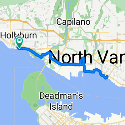
Dam Bur Van
A cycling route starting in West Vancouver, British Columbia, Canada.
Overview
About this route
- -:--
- Duration
- 125.1 km
- Distance
- 1,780 m
- Ascent
- 1,782 m
- Descent
- ---
- Avg. speed
- 360 m
- Max. altitude
Route quality
Waytypes & surfaces along the route
Waytypes
Cycleway
53.6 km
(43 %)
Busy road
20.1 km
(16 %)
Surfaces
Paved
104.1 km
(83 %)
Unpaved
9.3 km
(7 %)
Asphalt
89.6 km
(72 %)
Paved (undefined)
10 km
(8 %)
Route highlights
Points of interest along the route
Point of interest after 50 km
Pit 1
Point of interest after 91.3 km
Pit 2
Continue with Bikemap
Use, edit, or download this cycling route
You would like to ride Dam Bur Van or customize it for your own trip? Here is what you can do with this Bikemap route:
Free features
- Save this route as favorite or in collections
- Copy & plan your own version of this route
- Split it into stages to create a multi-day tour
- Sync your route with Garmin or Wahoo
Premium features
Free trial for 3 days, or one-time payment. More about Bikemap Premium.
- Navigate this route on iOS & Android
- Export a GPX / KML file of this route
- Create your custom printout (try it for free)
- Download this route for offline navigation
Discover more Premium features.
Get Bikemap PremiumFrom our community
Other popular routes starting in West Vancouver
 Cypress Climb
- Distance
- 14 km
- Ascent
- 888 m
- Descent
- 105 m
- Location
- West Vancouver, British Columbia, Canada
 metro loop first via burnaby mountain
- Distance
- 90.7 km
- Ascent
- 1,205 m
- Descent
- 1,214 m
- Location
- West Vancouver, British Columbia, Canada
 Summer 2012 Ride Jasper to Vancouver
- Distance
- 861.9 km
- Ascent
- 3,757 m
- Descent
- 2,701 m
- Location
- West Vancouver, British Columbia, Canada
 Slow ride in
- Distance
- 17 km
- Ascent
- 0 m
- Descent
- 13 m
- Location
- West Vancouver, British Columbia, Canada
 Dam Bur Van
- Distance
- 125.1 km
- Ascent
- 1,780 m
- Descent
- 1,782 m
- Location
- West Vancouver, British Columbia, Canada
 Cypress Bowl - Kill ATG!
- Distance
- 15.4 km
- Ascent
- 790 m
- Descent
- 48 m
- Location
- West Vancouver, British Columbia, Canada
 Seymour Dam and Metro Van
- Distance
- 107.7 km
- Ascent
- 1,631 m
- Descent
- 1,629 m
- Location
- West Vancouver, British Columbia, Canada
 Seven Bridges
- Distance
- 78.8 km
- Ascent
- 589 m
- Descent
- 589 m
- Location
- West Vancouver, British Columbia, Canada
Open it in the app